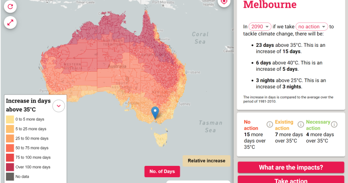
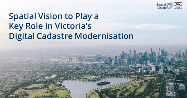
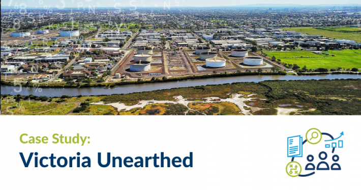
As the Victorian State’s population growth continues to accelerate from 4.5 million towards 10 million by 2051*, so too must the continued development of new and existing housing, transport, environmental and social infrastructure, to ensure Melbourne and Victoria’s sustained economic resilience, livability and the wellbeing of future generations to come.
Realising this future state requires meticulous planning and analysis, programming and implementation, underpinned by strong governance to ensure Government investment and development is managed effectively in a changing, dynamic and increasingly complex environment.
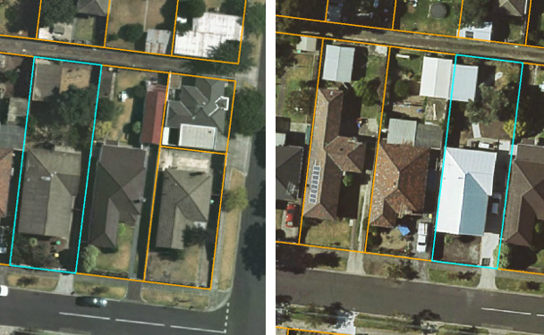
Access to precise, reliable and comprehensive information that provides key stakeholders with a clear understanding of the land owned and managed by Government, and in particular, how the land is being used and for what purposes, at any given time, is therefore essential.
Spatial Vision understood that a consolidated, temporal, authoritative information source recording government land use did not exist and the subsequent value this project could yield. We therefore recognised the need to develop a solution that not only met DELWP’s immediate needs but also one that leveraged authoritative and maintained data, that could be repeated as new data becomes available by DELWP themselves.
*Source: Plan Melbourne 2017 – 2015, Summary. “A Global City of Opportunity and Choice” http://www.planmelbourne.vic.gov.au/__data/assets/pdf_file/0009/377127/Plan_Melbourne_2017-2050_Summary.pdf