 https://spatialvision.com.au/wp-content/uploads/2020/06/Untitled-design-1.png
375
710
Spatial Vision
https://spatialvision.com.au/wp-content/uploads/2020/04/SV_Logo_Inline.png
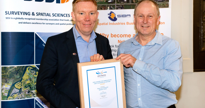
Spatial Vision2020-06-05 07:00:102024-10-11 13:20:59Spatial Excellence Recognised at the APSEA Awards
https://spatialvision.com.au/wp-content/uploads/2020/06/Untitled-design-1.png
375
710
Spatial Vision
https://spatialvision.com.au/wp-content/uploads/2020/04/SV_Logo_Inline.png
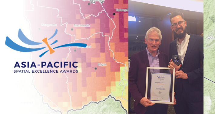
Spatial Vision2020-06-05 07:00:102024-10-11 13:20:59Spatial Excellence Recognised at the APSEA Awards