Our Services
Our experts can generate vulnerability assessments that incorporate extreme weather impact modelling into a decision-making framework. Consequently, estimates of asset loss, consequences of service disruption and cost implications are measured and quantified.
Using the latest climate models and a variety of analytical tools, assessments assign likely vulnerability ratings to climate hazards. Chiefly, these include rainfall variability, sea level rise or inundation to assets and community profiles. In addition, standardised reporting provides both numerical and descriptive insights into these likely impacts.
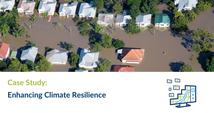
As a result, stakeholders are better equipped to financially quantify and mitigate the risks posed by climate change and associated extreme weather events in their area. This information can assist clients to confidently facilitate better long-term asset and community planning. Ultimately, these vulnerability profiles will inform measures to build resilience and ensure ongoing service delivery to the community.


 https://spatialvision.com.au/wp-content/uploads/2024/03/Case-Study-web-tile-5.png
500
900
Samantha Sinclair
https://spatialvision.com.au/wp-content/uploads/2020/04/SV_Logo_Inline.png
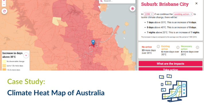
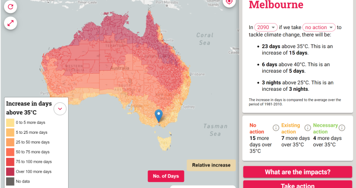
Samantha Sinclair2024-03-12 15:06:442024-10-23 15:36:38Climate Heat Map of Australia
https://spatialvision.com.au/wp-content/uploads/2024/03/Case-Study-web-tile-5.png
500
900
Samantha Sinclair
https://spatialvision.com.au/wp-content/uploads/2020/04/SV_Logo_Inline.png
Samantha Sinclair2024-03-12 15:06:442024-10-23 15:36:38Climate Heat Map of Australia


")
")
