Spatial Vision to Play a Key Role in Victoria’s Digital Cadastre Modernisation

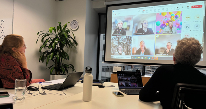
Spatial Vision is pleased to announce that it will lead the Adjustment Services stage of Victoria’s Digital Cadastre Modernisation Project. Spatial Vision is working in collaboration with Reeds Consulting and Collier Geodetic Solutions for this project.
Digital Cadastre Modernisation will benefit map users every day by preparing Victoria for a high-precision digital future. The Adjustment project is Stage 2 of the Victorian Government’s $45 million investment to upgrade the State’s digital cadastre using survey observations. This is key to ensuring one of Victoria’s most important datasets is more accurate, modern and easily accessible.
The Adjustment Stage will calculate the most reliable digital representation of every land parcel in the State using information from original cadastral plans and surveys (acquired via the Stage 1 Back Capture project) and the survey control network.
The Back Capture Stage is currently underway and progressively working its way across the State on a local government area basis.
The selection of the Spatial Vision-led team ensures the project draws on and further builds local specialist expertise in cadastral adjustment processes and techniques. The Spatial Vision team will continue its close association with University of Melbourne and RMIT University to enhance and further integrate these competencies into the academic programs of both degree and certificate courses and will continue to work closely with research groups such as Frontier SI.
Glenn Cockerton, Spatial Vision’s Managing Director said:
“Spatial Vision is very pleased to have been awarded this project. It represents a fantastic opportunity to deliver a much improved geospatial asset for Victoria as well as build key skills and capabilities for the future. We look forward to delivering the outputs of this project progressively over the next three years.”
About the Digital Cadastre Modernisation Project
The Digital Cadastre Modernisation Project will enhance the accuracy of Vicmap, the State’s authoritative map base, which supports millions of essential public, private and community transactions in land, development, agriculture and emergency services in Victoria each year and is the #1 downloaded dataset on data.vic.gov.au.
The Digital Cadastre Modernisation project consists of four stages which will be delivered in partnership with a wide range of stakeholders. It is a key project to support the delivery of the Government’s technology agenda.
See also: https://youtu.be/KNqtuy8MbwE
About Spatial Vision
Established in 1999, Spatial Vision integrates geographic and organisational data to provide business systems, spatial analyses and custom solutions to address some of the most pressing resource, economic and environmental challenges. Our solutions underpin the effective management of natural resources, like land, water, flora and fauna, forests and fisheries, as well as built assets and infrastructure.
For all the latest on the Adjustment Stage, follow our DCM2x2 blog series:
For more information, please get in touch