
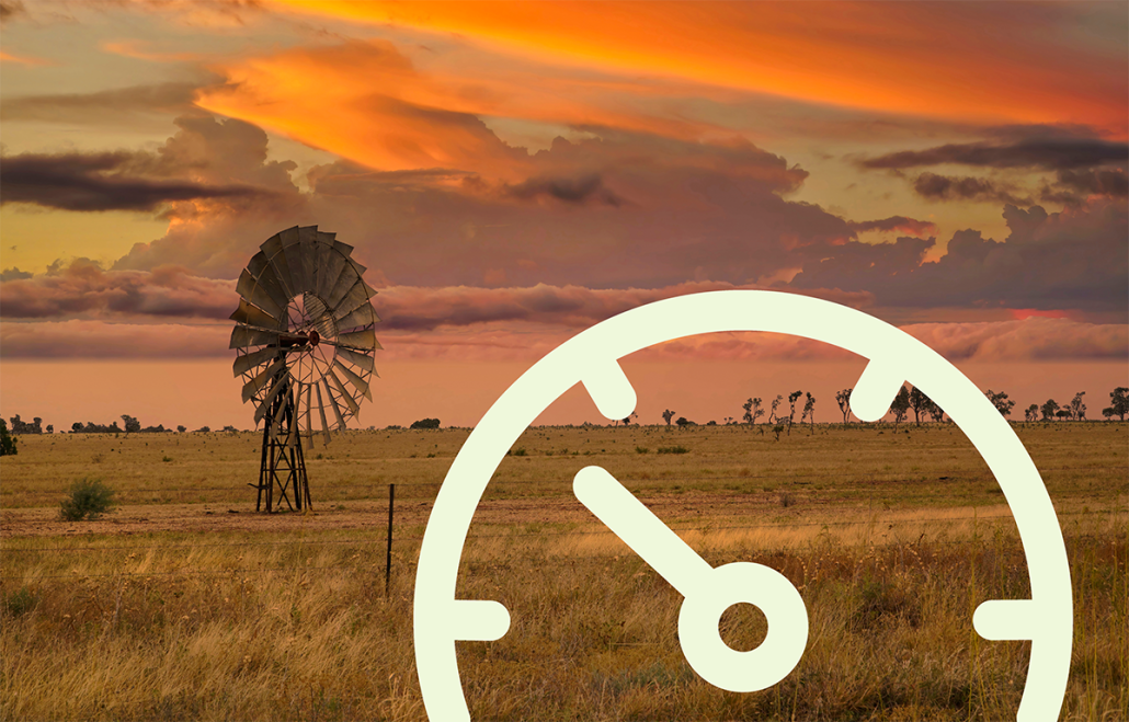
Understanding and planning for a rapidly changing world
In today’s rapidly evolving climate landscape, the need for action is undeniable. Organisations and governments are under growing pressure to demonstrate they are addressing the risks and opportunities posed by climate change to their assets, operations, and communities. The forthcoming Australian Sustainability Reporting Standards (ASRS) will increase the pressure. However, knowing where to start and how to plan for climate change can be a challenge.
We will support your climate resilience journey from now until well into the future. Our flexible and collaborative approach ensures dedicated support for your strategy, implementation and beyond. We are your comprehensive partner for climate services.
As trusted advisors, we enhance data integrity and provide deep understanding and expertise in climate impact and risk mitigation.
“More than 2,000 Land Managers have subsequently been engaged to examine how they can adapt their business to counter the impacts of climate change, with [Spatial Vision’s] work providing the foundation.
Without it, the conversation would have sunk and as a result, some farmers will not only avoid bankruptcy but will survive for generations to come.”
Lachlan Campbell
Catchment Coordinator
North Ease Catchment Management Authority (NECMA)
Spatial Vision has been assisting organisations for over 20 years. We use a science-based, and transparent approach to help your organisation comprehend and act on the risks and opportunities presented by climate change. Importantly, we involve you and your organisational data in the process, so you own the resulting outcomes and insights.
Advice on how to get started including data, processes and resourcing
First pass assessment to help inform key focus areas
Detailed evaluation of vulnerabilities under differing climate scenarios
Building your understanding of insights to inform action planning
Design and development of tools and platforms, and information sharing to help you engage stakeholders
Ongoing support, monitoring, reporting, advise and platform maintenance to maintain momentum
Climate change is inherently uncertain and complex to understand. Planning for possible impacts to the environment and society is a difficult task. However, what is certain is that organisations need to act now to incorporate the latest climate data and available information, to make informed and data-driven decisions.
Climate scenario analysis is a critical step in the climate change policy, adaptation and reporting process. It helps to determine the potential consequences under different future climate scenarios and informs the development of appropriate adaptation plans.
To find out more, read our full case study on how we applied climate scenario analysis for the Minderoo Foundation and the South East Councils Climate Change Alliance (SECCCA).
Planning and acting on climate risk involves necessary changes to the way we understand the landscape, conduct business, and deliver services.
Dealing with complex data and communicating information about climate, risks and plans to various stakeholders can be challenging. We use our expertise in data science, IT architecture and modern application design to create engaging tools for storytelling.
To find out more, read our full case study for the Climate Council and how we helped them communicate complex data in an engaging and compelling way.
Climate Action Barometer Report
Over the past decade, climate-related hazards have increasingly disrupted organisational operations, leading to significant financial and operational challenges.
Our recent survey highlights that while the majority of participating organisations have commenced their climate readiness journey to address the climate-related risks, most are still in the planning stages and encounter substantial barriers such as budget constraints, limited resources, and inadequate data.
How prepared are Australian organisations for climate-related risks?
Increasing the resilience of your organisation
against climate extremes is a journey.
Let us help you navigate and get started.