What’s it really like to work in geospatial science?
Our 2021 Graduate Cadet David Pepin shares his experience as a graduate spatial analyst, and what to expect from the Cadetship program.
Take a look below.
 From GIS student to graduate
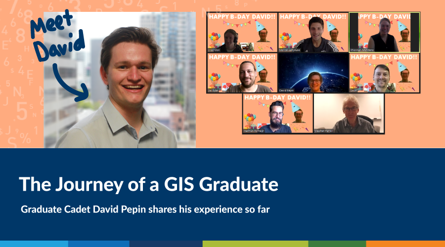
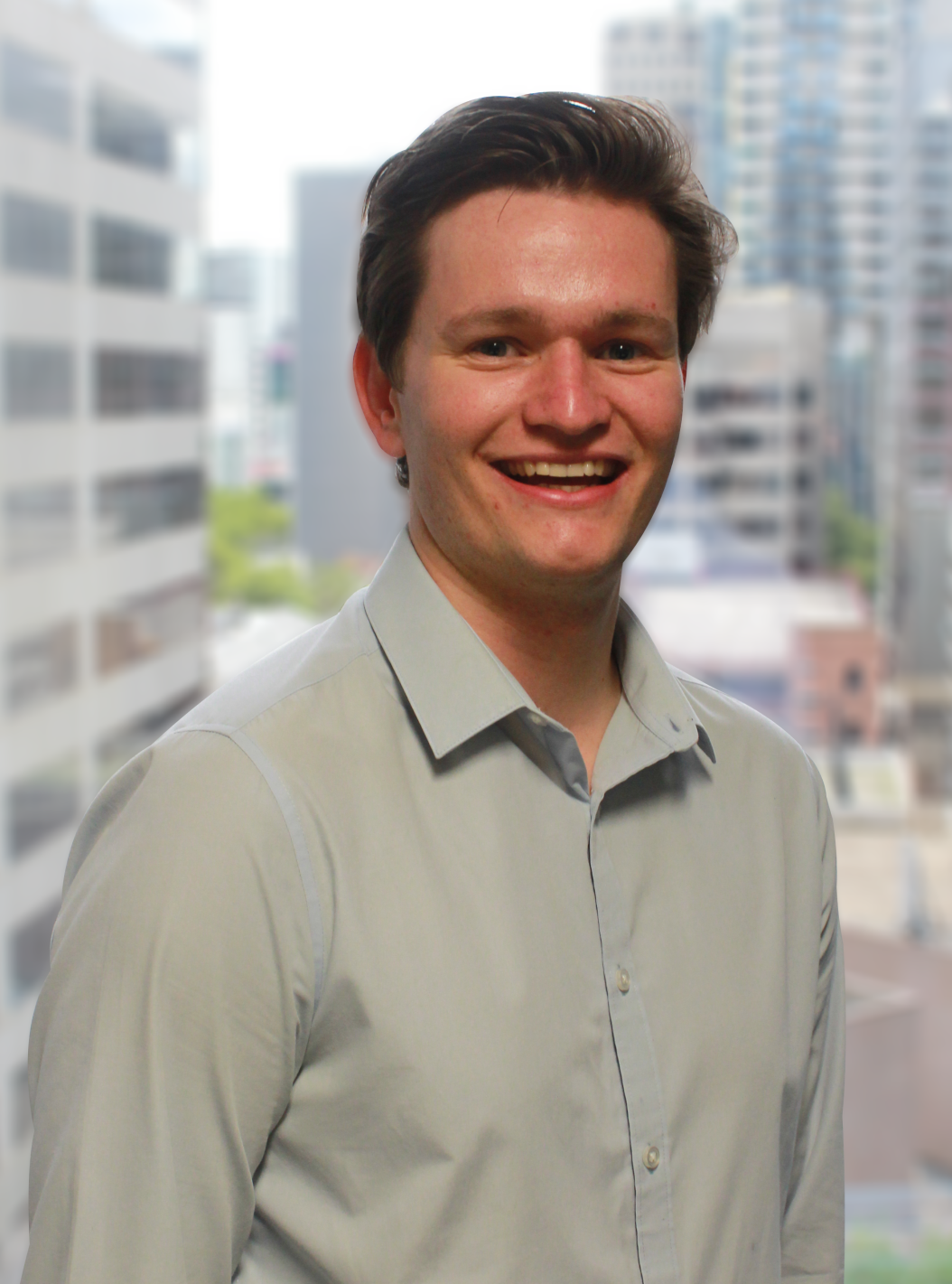
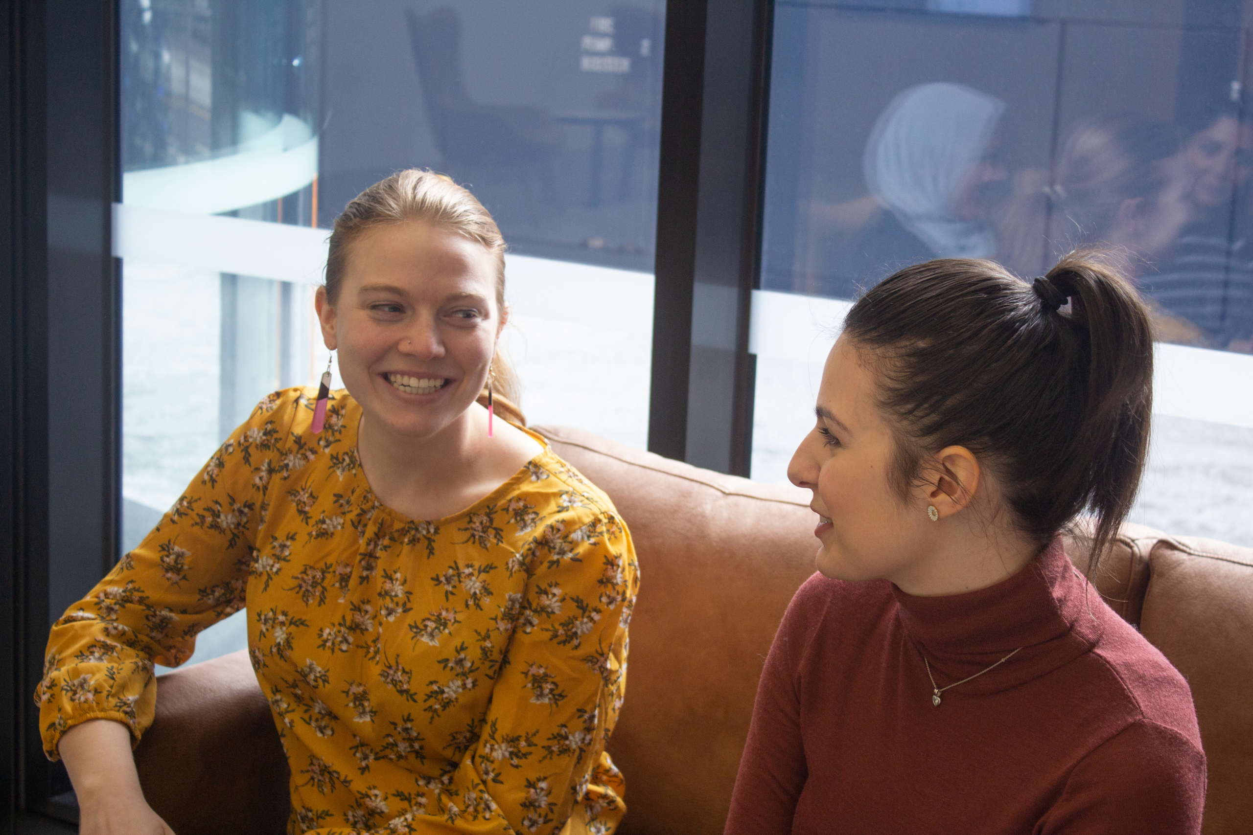
Hi, I’m David – that’s me in the picture 😀
In November 2020 I graduated from the Bachelor of Science (Geospatial Science) (Honours) program at RMIT in Melbourne. Looking back on what was a challenging year with remote learning (hats off to all who have been through that!), completing my honours project and polishing off the last subjects in my degree, I was nevertheless filled with excitement to enter the spatial science industry and start getting my hands dirty in some real-world applications of GIS.
The last six months have been something of a whirlwind, having started my first post-university position at Spatial Vision (SV) as the 2021 Graduate Cadet. Starting a new job is always at least a little bit nerve-racking, and being a graduate, there’s often a lot to learn. It’s true however that confidence comes with experience, often bolstered by the support made available to you, and the staff at SV have really helped me throughout this transition. My team in particular have committed to my mentoring which has and continues to be invaluable, to say the least.
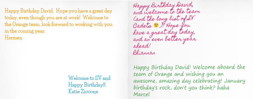
Thanks team for the warm welcome and birthday wishes!
What does my work involve?
Hitting the ground running in January, I began in a cartography role contributing to the creation and updating of maps for Jacaranda (Wiley) production of their high-school geography resources. Instantly, I was learning new skills and programs whilst being exposed to the inner workings of client-focused projects at SV and the emphasis on project management and client relationships. I have since been invited to attend and contribute to client meetings, giving my perspectives where valuable, and building meaningful rapports. Within the last month, I have contributed to projects in the environmental, accessibility and public health space (three areas of GIS applications that I particularly resonate with) each providing a unique perspective of the spatial science field.
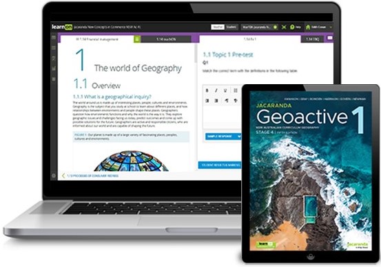
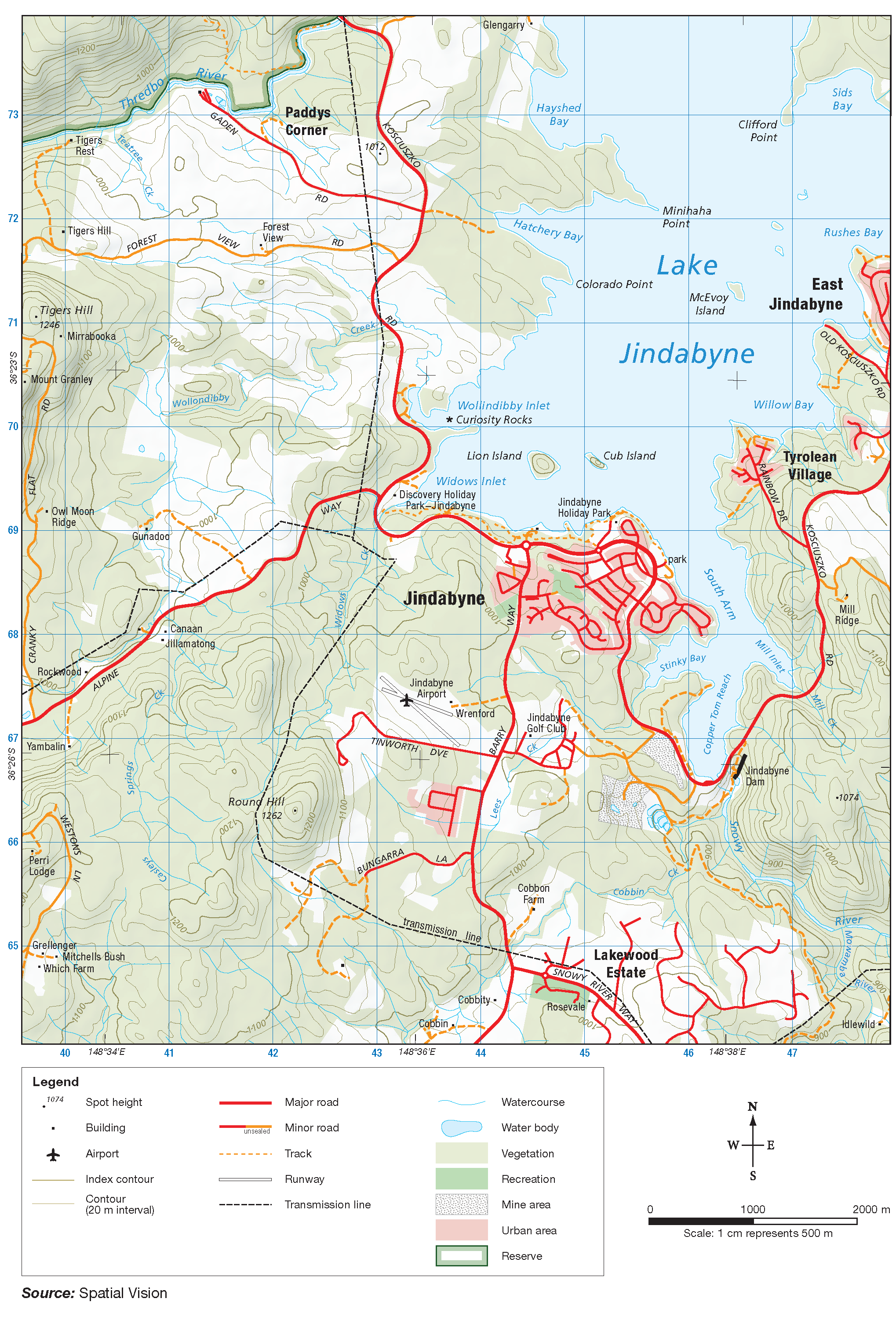
Pictured above: Spatial Vision topographic map of Jindabyne featured in Jacaranda Geoactive 2 Series 5e; Geoactive resource preview (Source: Wiley)
Our Mapping & Spatial Services team provides all of the mapping and GIS analysis solutions required by our clients. At any one time, our team is working across a wide range of projects and clients, working in conjunction and independently as we build valuable resources, analysis and applications. I’ve been able to see first-hand the value created for clients and their positive reactions. My tasks day to day change often as projects begin and end, and I am often working alongside different members of the team. Developing new projects offers potential to look at GIS and mapping from different perspectives – weighing up client requests, deadlines, data, the most optimal workflows and end products are definitely something I’ve come to terms with – valuable skills which I’m sure I will continue to build upon.
I’ve been lucky to work on a wide range of projects with a diverse mix of clients, not only in the GIS and mapping field but also the solution design and app development space. SV is filled with professionals that are passionate about their work, and I’m glad to have had opportunity to join them.
Working at Spatial Vision
Being a tight-knit company, SV has the culture to match. We are continually learning from each other and encouraging knowledge-sharing across the business to stay ahead of the 8-ball. While I’m in the Mapping & Spatial Services team, I’m consistently amazed by the projects across the business and have regular opportunities to get a peek ‘under the hood’ of major projects, hear from our in-house industry professionals and ask questions. I’ve also been given the opportunity to actively contribute to my team through facilitating our daily meetings, again encouraging knowledge and experience sharing within my team.
More broadly, the staff continually embrace inclusion, encourage having fun at work and celebrate wins wherever possible. The social committee, aptly named ‘Social Vision‘, holds regular events in aid of this, keeping us entertained (especially over lockdowns!) with social activities, and celebrating events big and small (even International Donut Day!).
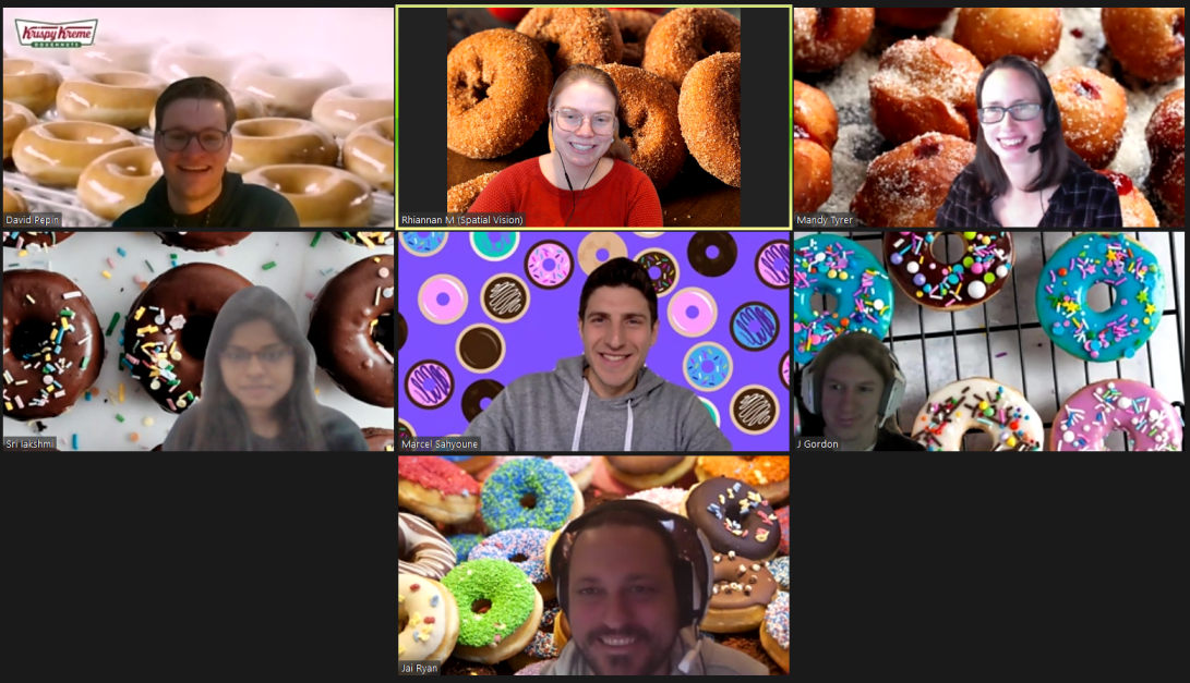
Why wouldn’t you celebrate International Donut Day?
The best part about the Graduate Cadet Program
Spatial Vision has been running their Cadetship program for over 18 years now, so they must be doing something right! But really, the thing that stood out for me was the opportunity to manage your own project straight out of uni. Previous cadets have gone on to make some incredible contributions to large-scale projects and it’s a testament to the investment SV puts towards their staff and the industry.
The self-managed project gives you the opportunity to focus on an avenue of your choosing, with dedicated time to researching and exploring. This could be delving into something you’re passionate about, investigating an emerging technology or perhaps exploring a rising trend in the industry. Cadets take the lead in managing their project from start to finish. Though it can be daunting idea for a new grad (it was for me!), there is plenty of support from the many experienced professionals across the business with access to an incredible wealth of expertise, so it’s a great position to be in. At the end of the program, you’ll have the opportunity to present the findings of your project to staff. These presentations are always looked forward to by the business as a whole, and previous cadets have presented some amazing projects (something I of course hope to follow suit in!).
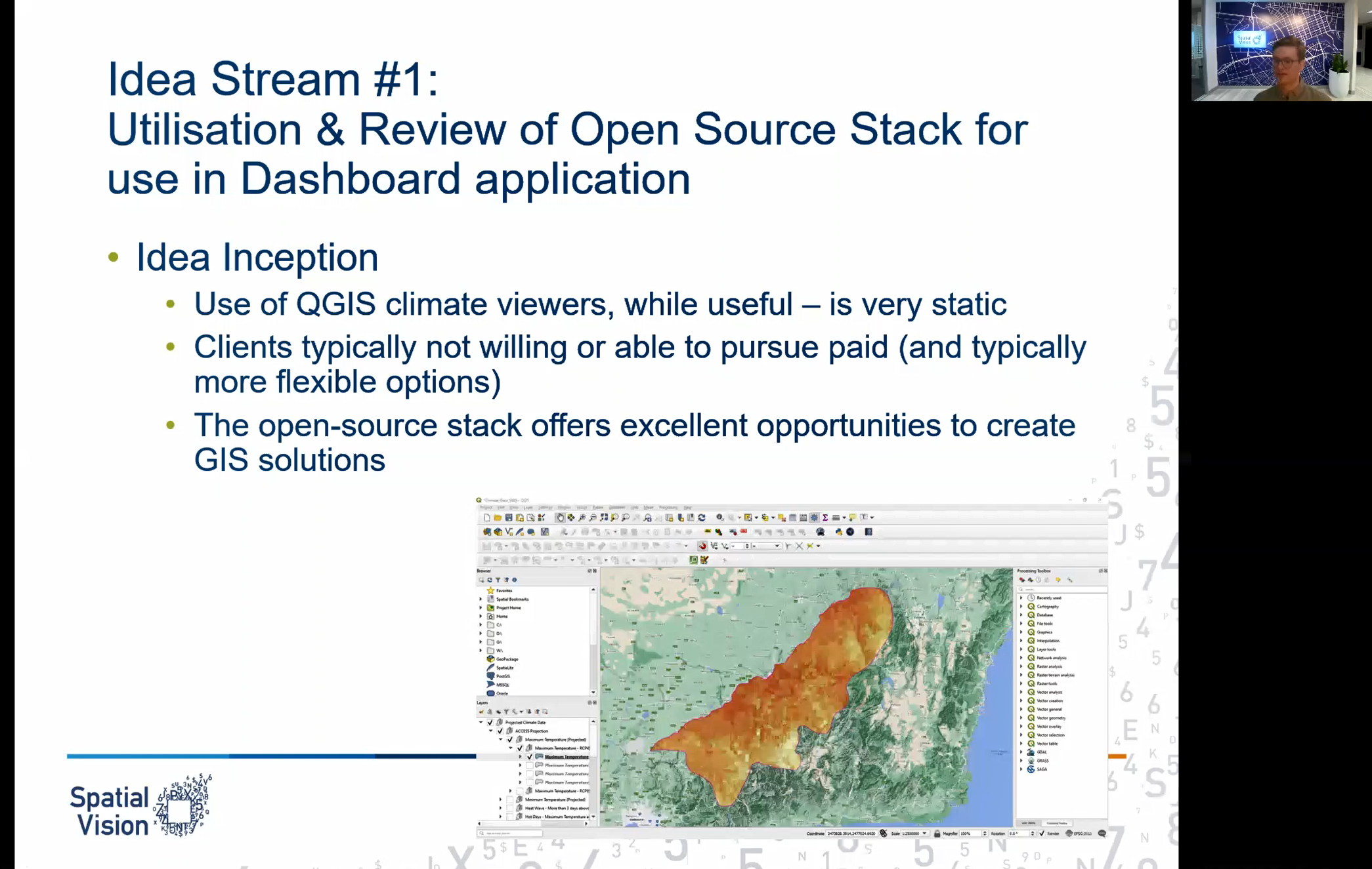
Presenting my project ideas to management
While I am in the throes of my cadetship at the moment, I look forward to seeing what opportunities the rest of the year holds and of course, getting stuck into my own cadetship project. This position continues to nurture my passions in the spatial sciences, providing awesome experiences and opportunities to contribute to meaningful projects, whilst challenging me to learn and develop in the field. I’d really encourage any soon-to-be graduate in the spatial sciences field to consider applying for the 2022 Cadetship position. If you have any questions, feel free to shoot me a message on Linkedin, or contact our team here.
David is passionate about all things GIS and contributing to resources and solutions that promote informed decision-making. Outside of the office, David enjoys catching up with friends, sport and getting outdoors.
- Rising Tides: What data can tell us about future coastal flooding - December 16, 2021
- The Journey of a GIS Graduate: 2021 Graduate Cadet Program - June 17, 2021
 You could be our next Cadet.
Jumpstart your career in GIS with Spatial Vision’s Graduate Cadetship Program.
The program equips graduates with the skills, experience and professional development for a successful career in spatial services.
For more information, visit our Graduate Cadetship page.