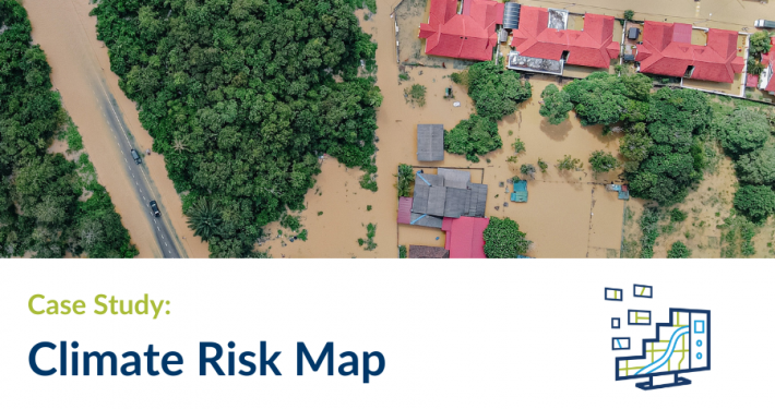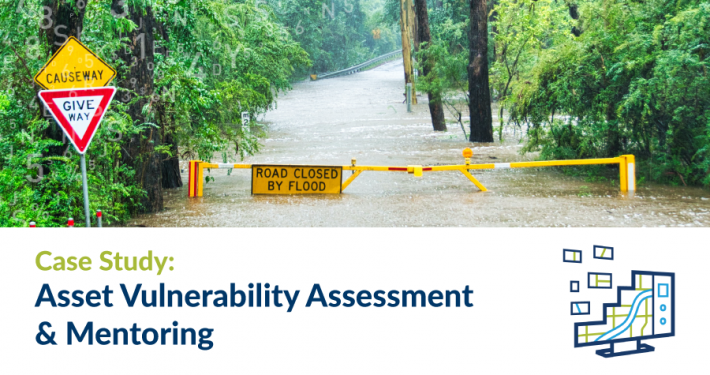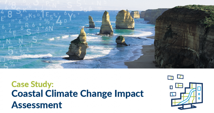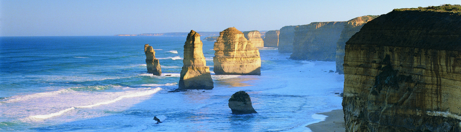
This project was required to build on earlier risk assessment work carried out by DELWP that identified priority assets, as well as be consistent with the CoastAdapt risk assessment approach. The assessment involved undertaking an extensive state-wide spatially based impact assessment that considered all coastal assets. This included the use of currently available coastal biophysical data, asset information and research findings.
This approach was unique, as no equivalent analysis and coastal asset assessment had been done before for Victoria.
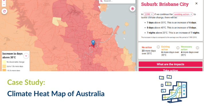
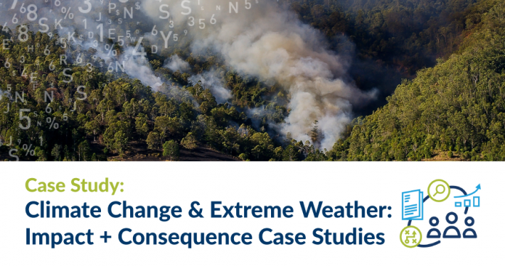
The project aims to inform communities on anticipated climate change and the likely impacts associated with this change to facilitate evidence-based decision making.