The Solution
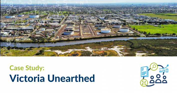
DELWP supported the State Library Victoria in scanning their collection of historic Sands & McDougall business directories that cover Melbourne and suburbs from 1860 and country Victoria from 1902. The precursor to today’s telephone directories, the Sands and McDougall directories provide listings of people, businesses and organisations by street. The Victoria Unearthed site makes this unique historical information available in the context of today’s geography and a range of government spatial data, including up-to-date spatial data from Environment Protection Authority Victoria (EPA).
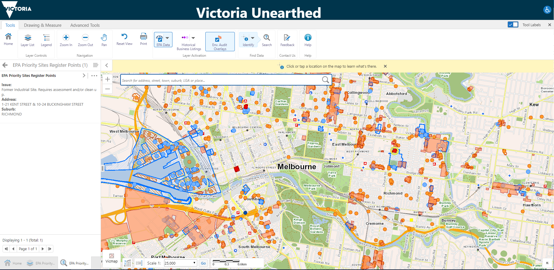
View of EPA Audits across Melbourne
The web-mapping tool was developed using Geocortex in two main phases.
Phase 1
Firstly, a demonstration site was developed using the DELWP’s MapShare Esri-based infrastructure. The demonstration site allowed the project team to test the display of various datasets and user interaction with the system. This implementation enabled reviewing of business datasets, configuring the required functionalities and reporting templates.
Phase 2
The second phase progressed the demonstration site for Victoria Unearthed to production. The process included publishing the datasets in ArcGIS server, creating map services and consuming it in the Geocortex site, refining the data display in the viewer to show transparent overlays of key spatial data, classifying the historical business listing into 3 periods for easier map display. In addition, developing:
- specific functions to toggle the key layers, in addition to configuring tools “out of the box”
- spatial buffering and reporting functionalities linked to a search tool
- a tool to capture feedback from users on the correctness of the data and useability of the site
- additional datasets including EPA priority and licenced sites, and Sands & McDougall directory business listings
- layer catalogue adding VicMap and other data layers
- map screenshot capabilities when sending feedback form
Spatial Vision developed an ongoing system administration document, and worked closely with DELWP to ensure that Victoria Unearthed meet the business and community needs.