The Remote Sensing and Landscape Science team (part of the NSW Department of Climate Change, the Environment, Energy and Water), aimed to validate the habitat connectivity model from the NSW Biodiversity Indicator Program (BIP) using on-ground evidence.
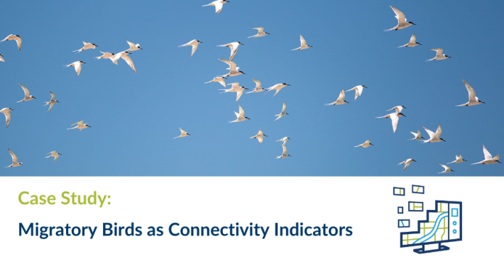
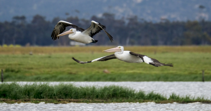
Migratory connectivity is the geographic and temporal linking of individuals and populations between one life cycle stage and another, such as between breeding and wintering locations for a migratory bird.
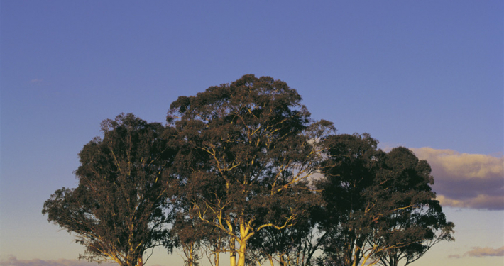
This research was primarily focused on observation records of nomadic bird species in NSW. The project focused on leveraging these bird records of common mainland species for their richness in data, spatial records, and ecological significance.
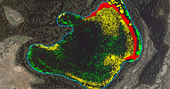
The study focused on validating habitat connectivity using the movement patterns of common bird species, including some pollinators. Sightings of these birds, collected and cleaned from multiple years, provide a rich source of field data to validate where connectivity is predicted to be high. The spatial relationship between these migratory birds and the habitat connectivity layer was examined, despite challenges such as mixed resident and movement data, biased survey effort and inaccurate records.
The project aimed to address theoretical and methodological challenges and assess whether the selected bird species use identified connectivity pathways, identifying potential gaps in the BIP model. The goal is to provide insights for improving the habitat connectivity layer and assist the agency to assess mapping proposals.
")