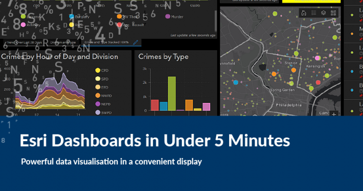
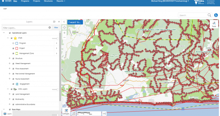
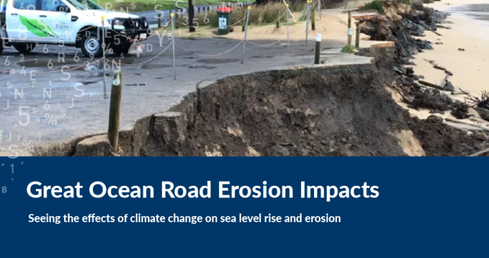
NSW Department of Planning, Industry and Environment (DPIE) uses several innovative spatial and remote sensing technologies to support water resource management and compliance-related functions. NSW DPIE Water shares these technologies with sector partners including: WaterNSW; NSW Natural Resources Access Regulator (NRAR) and the Murray Darling Basin Authority (MDBA).
Program focus areas include the use of remote sensing and spatial technologies to observe, analyse and report on:
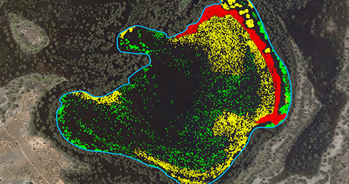
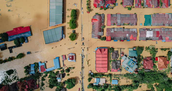
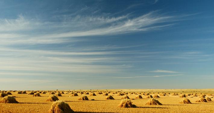
- Presence / absence of water in on-farm storages, river reaches & canals, floodplains & refuge pools.
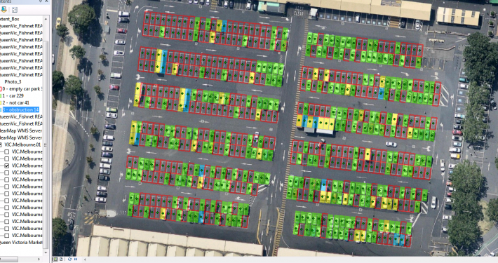
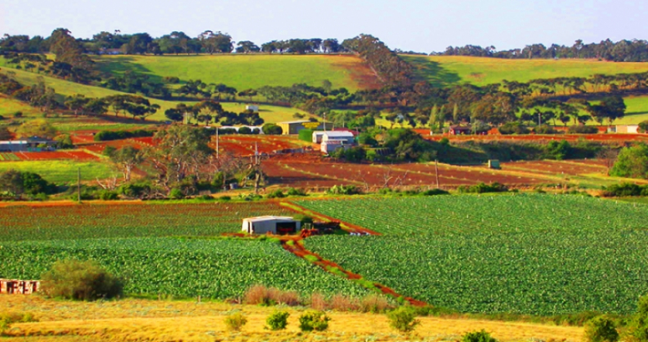
- Water use and application to irrigated areas.
- Identification of irrigated crop areas, crop type and rotation – to inform water resource modelling and compliance functions.
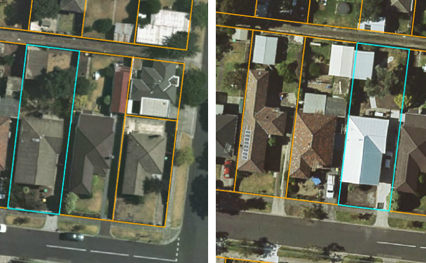
- Identification and characterisation of infrastructure including that in-channel, across floodplain or at farm scale.
- Calculating water balance (farm, river reach, catchment) supported by remote observations.
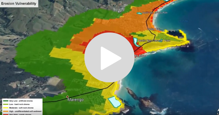
- Monitoring environmental/flood flows across large geographies.
- Supporting major programs and projects with spatial and remote sensing products and analysis.
Seeking additional advice, the Department engaged Spatial Vision to develop a series of reports capturing current state, gaps and user requirements in order to develop a strategic roadmap. The intent being to assist in meeting future business requirements and unifying processes and technologies between contributing stakeholders.