Research & Opinion
Blog, Case Studies, News and Videos
Musings on our latest work, interesting stories and tech discoveries.
 https://spatialvision.com.au/wp-content/uploads/2024/07/Sunshine-coast-QLD-blog-image-1.jpg
375
500
Samantha Sinclair
https://spatialvision.com.au/wp-content/uploads/2020/04/SV_Logo_Inline.png
Samantha Sinclair2024-07-24 19:10:092024-07-25 14:04:02Getting the most out of your GIS strategy & investment
https://spatialvision.com.au/wp-content/uploads/2024/07/Sunshine-coast-QLD-blog-image-1.jpg
375
500
Samantha Sinclair
https://spatialvision.com.au/wp-content/uploads/2020/04/SV_Logo_Inline.png
Samantha Sinclair2024-07-24 19:10:092024-07-25 14:04:02Getting the most out of your GIS strategy & investment https://spatialvision.com.au/wp-content/uploads/2024/07/climate-change-homelessness-blog-image.jpg
501
900
Samantha Sinclair
https://spatialvision.com.au/wp-content/uploads/2020/04/SV_Logo_Inline.png
Samantha Sinclair2024-07-24 18:36:182024-07-25 16:36:49Climate Change & Homelessness: Understanding the Connection
https://spatialvision.com.au/wp-content/uploads/2024/07/climate-change-homelessness-blog-image.jpg
501
900
Samantha Sinclair
https://spatialvision.com.au/wp-content/uploads/2020/04/SV_Logo_Inline.png
Samantha Sinclair2024-07-24 18:36:182024-07-25 16:36:49Climate Change & Homelessness: Understanding the Connection https://spatialvision.com.au/wp-content/uploads/2024/07/complexity-to-clarity-blog-image.jpg
503
900
Samantha Sinclair
https://spatialvision.com.au/wp-content/uploads/2020/04/SV_Logo_Inline.png
Samantha Sinclair2024-07-24 17:14:062024-07-24 17:39:25Navigating the complexity of geoscience data analysis
https://spatialvision.com.au/wp-content/uploads/2024/07/complexity-to-clarity-blog-image.jpg
503
900
Samantha Sinclair
https://spatialvision.com.au/wp-content/uploads/2020/04/SV_Logo_Inline.png
Samantha Sinclair2024-07-24 17:14:062024-07-24 17:39:25Navigating the complexity of geoscience data analysis https://spatialvision.com.au/wp-content/uploads/2024/07/Jarryd-Hunter_blog-image.jpg
500
900
Samantha Sinclair
https://spatialvision.com.au/wp-content/uploads/2020/04/SV_Logo_Inline.png
Samantha Sinclair2024-07-24 13:54:572024-07-24 17:32:08Meet Jarryd Hunter Manager of Enterprise Spatial Solutions
https://spatialvision.com.au/wp-content/uploads/2024/07/Jarryd-Hunter_blog-image.jpg
500
900
Samantha Sinclair
https://spatialvision.com.au/wp-content/uploads/2020/04/SV_Logo_Inline.png
Samantha Sinclair2024-07-24 13:54:572024-07-24 17:32:08Meet Jarryd Hunter Manager of Enterprise Spatial Solutions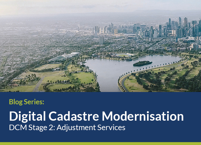
Spatial Vision and partners are leading Stage 2 of the Victorian Government’s $45 million investment to upgrade the State’s digital cadastre using survey observations. Follow our journey here.
Success stories from our projects.
 https://spatialvision.com.au/wp-content/uploads/2019/05/20Artboard-1Concepts.png
500
900
Spatial Vision
https://spatialvision.com.au/wp-content/uploads/2020/04/SV_Logo_Inline.png
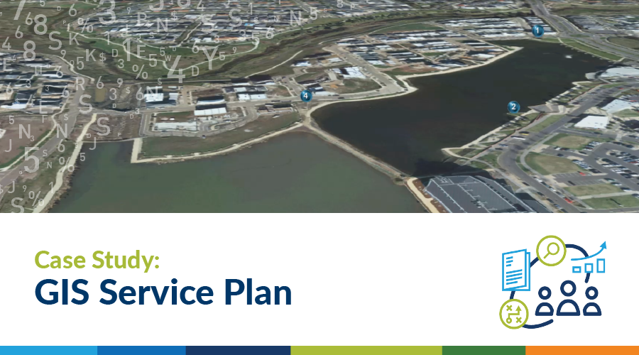
Spatial Vision2024-07-24 01:46:482024-07-24 14:31:19Case Study: GIS Service Plan
https://spatialvision.com.au/wp-content/uploads/2019/05/20Artboard-1Concepts.png
500
900
Spatial Vision
https://spatialvision.com.au/wp-content/uploads/2020/04/SV_Logo_Inline.png
Spatial Vision2024-07-24 01:46:482024-07-24 14:31:19Case Study: GIS Service Plan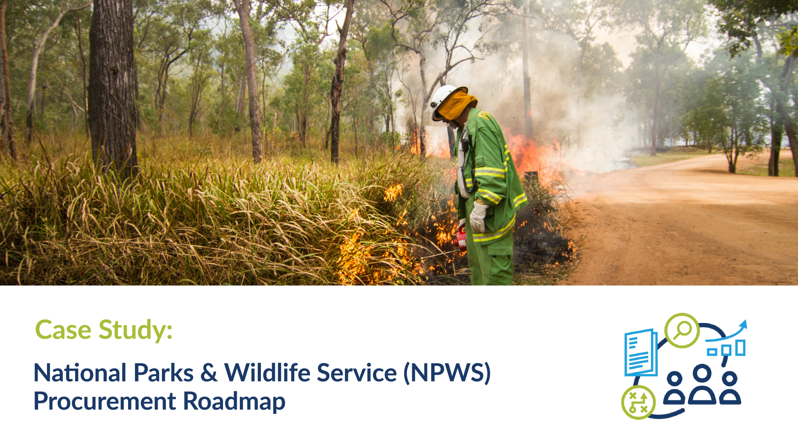 https://spatialvision.com.au/wp-content/uploads/2024/06/NPWS-Case-Study-web-tile-01-scaled.jpg
1422
2560
Samantha Sinclair
https://spatialvision.com.au/wp-content/uploads/2020/04/SV_Logo_Inline.png
Samantha Sinclair2024-06-26 13:11:322024-07-24 13:59:38Case Study: NPWS Procurement Roadmap
https://spatialvision.com.au/wp-content/uploads/2024/06/NPWS-Case-Study-web-tile-01-scaled.jpg
1422
2560
Samantha Sinclair
https://spatialvision.com.au/wp-content/uploads/2020/04/SV_Logo_Inline.png
Samantha Sinclair2024-06-26 13:11:322024-07-24 13:59:38Case Study: NPWS Procurement Roadmap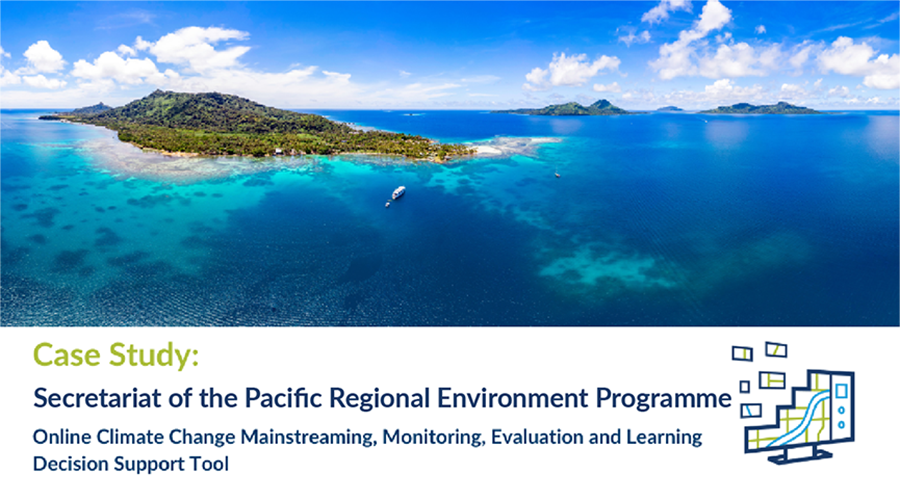 https://spatialvision.com.au/wp-content/uploads/2024/05/Case-Study-web-tilev2.png
500
900
Samantha Sinclair
https://spatialvision.com.au/wp-content/uploads/2020/04/SV_Logo_Inline.png
Samantha Sinclair2024-05-24 17:07:392024-05-30 16:38:39Case Study: SPREP MMEL Climate Resilience Support Tool
https://spatialvision.com.au/wp-content/uploads/2024/05/Case-Study-web-tilev2.png
500
900
Samantha Sinclair
https://spatialvision.com.au/wp-content/uploads/2020/04/SV_Logo_Inline.png
Samantha Sinclair2024-05-24 17:07:392024-05-30 16:38:39Case Study: SPREP MMEL Climate Resilience Support ToolLatest research, projects and innovation.
 https://spatialvision.com.au/wp-content/uploads/2024/06/G4Climate_rec-tile.jpg
500
900
Samantha Sinclair
https://spatialvision.com.au/wp-content/uploads/2020/04/SV_Logo_Inline.png
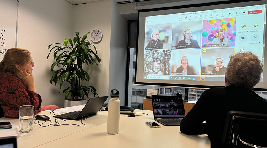
Samantha Sinclair2024-06-26 15:57:402024-06-26 16:03:01Geospatial for Climate User Group focus on extreme heat
https://spatialvision.com.au/wp-content/uploads/2024/06/G4Climate_rec-tile.jpg
500
900
Samantha Sinclair
https://spatialvision.com.au/wp-content/uploads/2020/04/SV_Logo_Inline.png
Samantha Sinclair2024-06-26 15:57:402024-06-26 16:03:01Geospatial for Climate User Group focus on extreme heat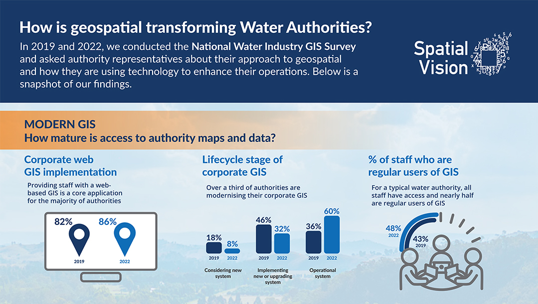 https://spatialvision.com.au/wp-content/uploads/2024/04/SV_GWUG-Infographic-2024_FA-e1713242561580.jpg
611
1079
Samantha Sinclair
https://spatialvision.com.au/wp-content/uploads/2020/04/SV_Logo_Inline.png
Samantha Sinclair2024-04-16 13:52:402024-04-17 15:43:25Geospatial Trends in the Water Industry
https://spatialvision.com.au/wp-content/uploads/2024/04/SV_GWUG-Infographic-2024_FA-e1713242561580.jpg
611
1079
Samantha Sinclair
https://spatialvision.com.au/wp-content/uploads/2020/04/SV_Logo_Inline.png
Samantha Sinclair2024-04-16 13:52:402024-04-17 15:43:25Geospatial Trends in the Water Industry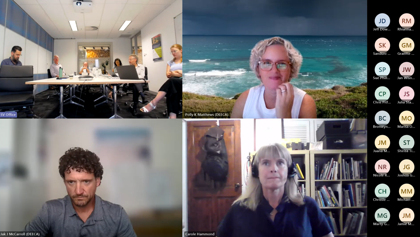 https://spatialvision.com.au/wp-content/uploads/2024/03/G4C.png
978
1734
Samantha Sinclair
https://spatialvision.com.au/wp-content/uploads/2020/04/SV_Logo_Inline.png
Samantha Sinclair2024-03-15 08:08:322024-03-15 12:56:51Spatial Vision launches geospatial climate group
https://spatialvision.com.au/wp-content/uploads/2024/03/G4C.png
978
1734
Samantha Sinclair
https://spatialvision.com.au/wp-content/uploads/2020/04/SV_Logo_Inline.png
Samantha Sinclair2024-03-15 08:08:322024-03-15 12:56:51Spatial Vision launches geospatial climate group https://spatialvision.com.au/wp-content/uploads/2024/02/Heat-map-Aust.png
1404
2043
Samantha Sinclair
https://spatialvision.com.au/wp-content/uploads/2020/04/SV_Logo_Inline.png
Samantha Sinclair2024-02-28 11:19:072024-03-15 13:19:14Hot enough for you? Climate Heat Map of Australia released
https://spatialvision.com.au/wp-content/uploads/2024/02/Heat-map-Aust.png
1404
2043
Samantha Sinclair
https://spatialvision.com.au/wp-content/uploads/2020/04/SV_Logo_Inline.png
Samantha Sinclair2024-02-28 11:19:072024-03-15 13:19:14Hot enough for you? Climate Heat Map of Australia releasedLearn more about us and what we do.
![]()
![]()
![]()