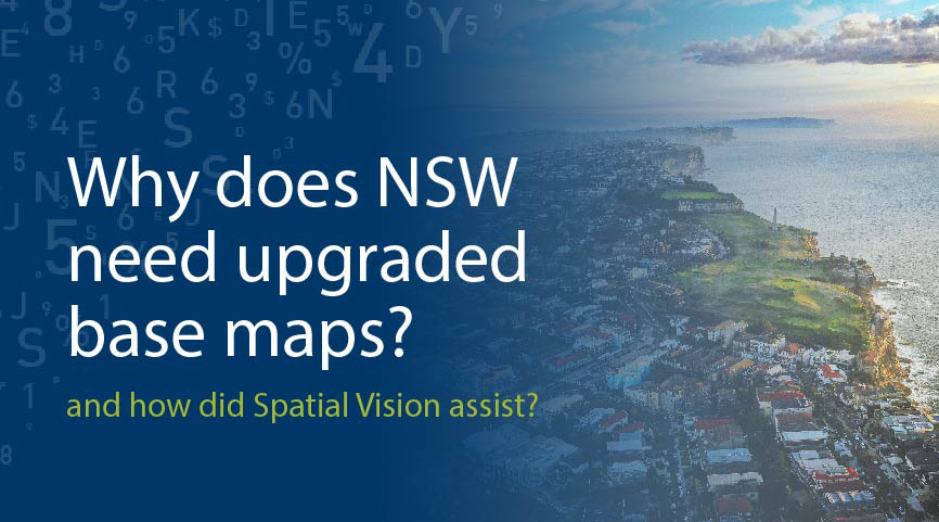
DCS Spatial Services’ Base Map is the default on high-profile platforms including the Spatial Collaboration Portal and Spatial Digital Twin. The Base Map required an overhaul to meet contemporary needs of end users, and advancements in the underpinning delivery technology.
DCS Spatial Services sought Spatial Vision’s expertise to uplift the traditional Base Map cartography and produce a range of new vector tile map bases. A key deliverable was to establish a production environment to produce a range of vector tile base map styles to satisfy different end users’ mapping requirements. The base maps ranged from traditional full colour to custom versions including greyscale and accessibility options.
Vector tiles are considerably more efficient in delivering mapping at multiple scales than the raster tiles that have been used for many years.
As a result, all customers now have an efficient, high quality and cartographically excellent suite of base maps to support a broad range of applications and uses. Vector tile base map options for various use cases included Topographic, Greyscale Topographic, Hybrid, Terrain, Light Mode, Dark Mode and Streets.


