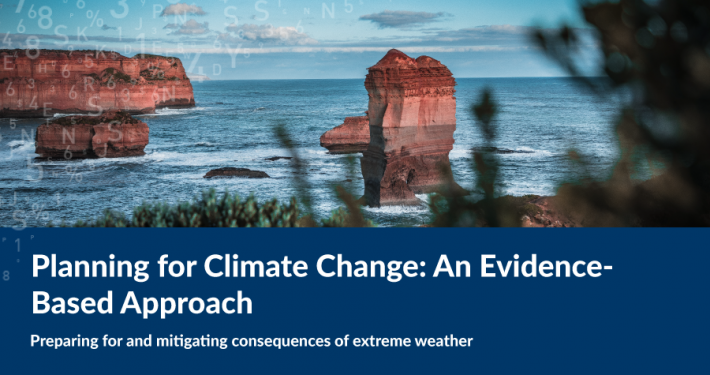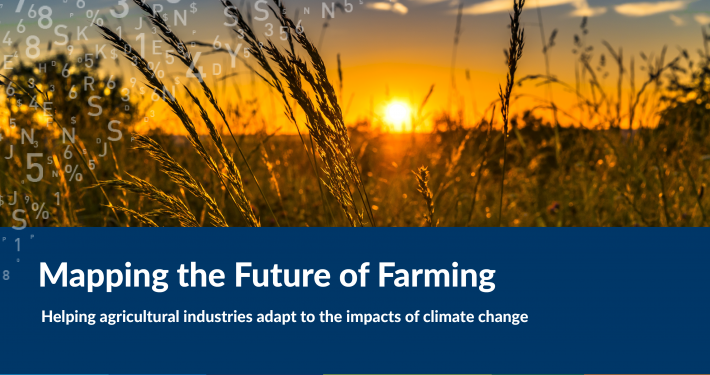
Spatial technologies are increasing playing a key role in how we prepare for and minimise the consequences of climate change and extreme weather events.
Barwon Regional Partnership Councils (BRPCs) requested the support of Spatial Vision with building capacity in the application of spatial technologies to better plan for and understand the consequences of anticipated climate change and associated extreme weather events for their communities.
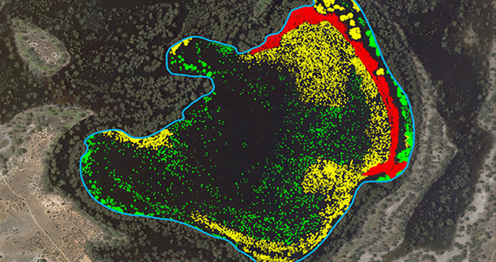
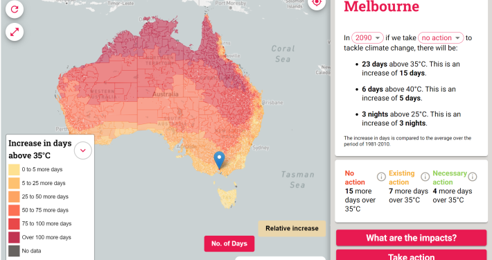
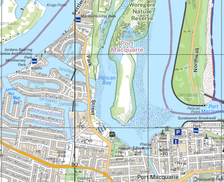
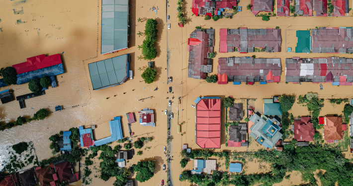
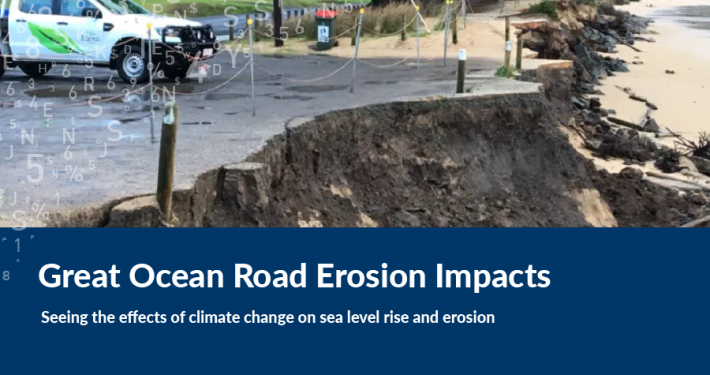
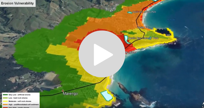
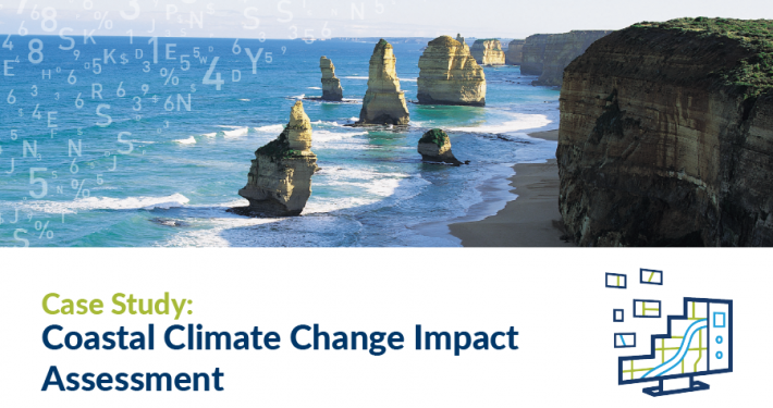
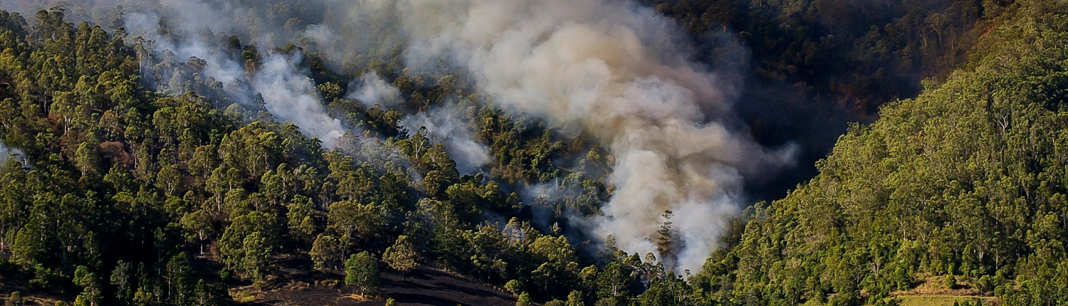
A series of spatial case studies were prepared that drew on the latest climate change projections prepared by CSIRO in 2019 under the Victorian Climate Projections Project. These case studies, which include the impacts of heat waves, coastal erosion and inundation, overland flooding, wildfire risk and landslips, were undertaken to assist and inform decisions concerning planning extreme weather and climate change related events. The events presented range from broad strategic evaluations through to local planning related responses.
A.S Miner Geotechnical assisted Spatial Vision in the delivery of 2 of the 6 case studies.