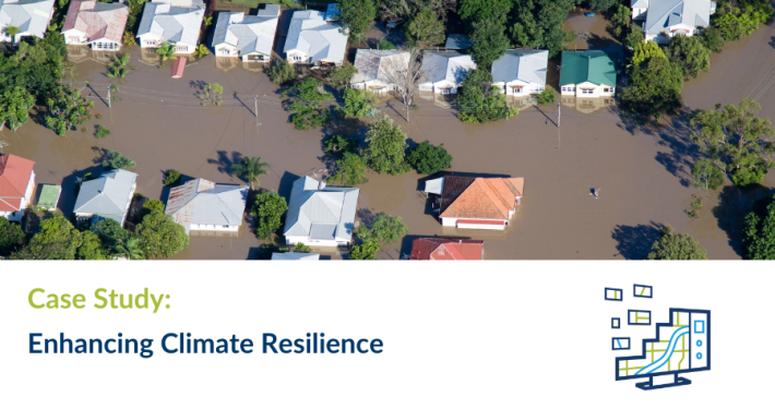
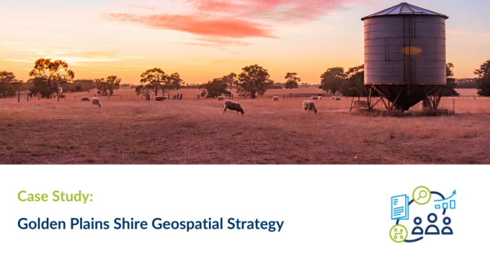
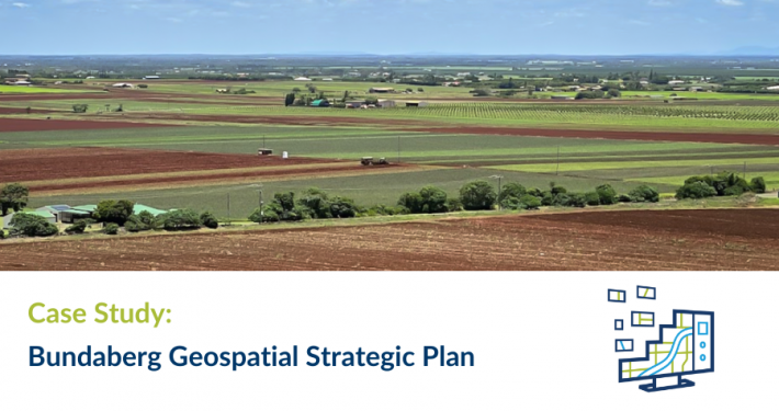
The juxtaposition of Golden Plains Shire (GPS) between Geelong and Ballarat is driving growth in both population and intensive agriculture. As a small shire now regarded as peri-urban, Golden Plains Shire needs to prepare for increasing property development whilst maintaining services and environmental features valued by the community.
Spatial Vision approached the consultancy as a capability assessment, based on a framework integrating the core concepts of geospatial intelligence and capability in the theme areas of: Internal business support & innovation; Smart with data; Powered by people; Support customers & stakeholders; and Spatial technology.
From these key areas, the strategy highlights four impact goals, ensuring alignment and integration with other Council strategies:
- A contemporary Geospatial Solution integrated with key business systems, accessible to all staff
- Smart data – created once, used many times, trusted and discoverable
- Embedding geospatial solutions within Council supporting collaboration; and
- Enhanced customer service delivery and providing the community with readily findable and understandable information to make decisions

")