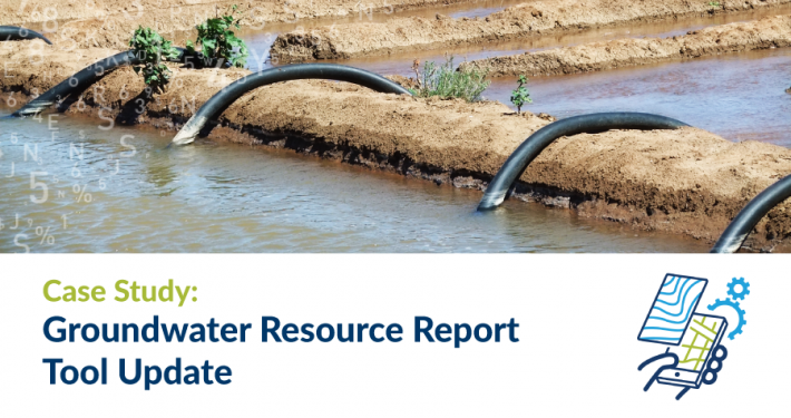
The Groundwater Resource Report tool is a complex, public facing tool supporting land owners in identifying suitable bore locations to access groundwater from aquifers legally, approving permits and licensing, and controlling water use with a groundwater resource report output designed in line with Departmental standards.
After designing and developing the original version of this tool, the Water and Catchments division of DELWP reengaged Spatial Vision to redevelop the report and supporting aquifer dataset. A key objective of the project was to move the aquifer data and report to the department’s enterprise MapShare environment to improve the ease of support and maintenance.
Using ArcGIS Enterprise and advanced Geocortex Essentials capabilities, Spatial Vision redeveloped the report which displays key data for the aquifers underlying a selected location in an easily accessible, detailed document. Advanced Geocortex scripting was used create a dynamic and high quality report, while ArcGIS Python geo-processing was used to transform the source aquifer data into a highly efficient reporting structure, enabling sub-second report generation.