In a world facing increasing climate volatility, the need for robust multi-hazard early warning systems has never been more urgent. These systems serve as a lifeline, safeguarding lives and livelihoods from a barrage of natural hazards like floods, heatwaves, storms, and tsunamis.
By bolstering our defences through enhanced adaptation measures and disaster risk management strategies, we can not only save lives but also mitigate the economic toll of these disasters.
The United Nations Early Warnings Initiative
The United Nations has sounded an alarm for global action through its Early Warnings Initiative. This initiative is a beacon of hope for climate justice, with an ambitious goal to ensure that every corner of the world is shielded by early warning systems within the next five years. To achieve this, the initiative forges partnerships across the United Nations and calls for advancements in disaster risk knowledge, technical innovations, hazard detection, and seamless data exchange. It’s a stark reality that nearly half of the world’s countries remain without the protective umbrella of multi-hazard early warning systems (as stated in the Executive Action Plan 2023-2027, UN Global Early Warning Initiative).
Kioa Island: A Case in Point
The island of Kioa in Fiji stands as a poignant example of the consequences of climate change. Rising sea levels, intensified by heavy storms, cyclones, and tsunamis, have already begun to wreak havoc on this island paradise. The increasing frequency of severe and unpredictable weather events disrupts lives and causes profound economic and social damage to coastal communities. Recognising the gravity of the situation, the Australian government is taking proactive steps by introducing climate legislation and signing the Kioa Climate Emergency Declaration. This declaration allocates funding to support communities adversely affected by climate-related disasters.
To address the broader challenge, there is a pressing need to develop early warnings systems and harness the power of climate data. Nations must invest in data and information systems, upgrade technical infrastructure, and bolster governance to align with climate initiatives and provide better support to their citizens.
The Role of Geospatial Data
Geospatial data plays a pivotal role in early warning systems, aligning with United Nations Sustainable Development Goals (SDG’s) such as “Sustainable Cities and Communities” and “Climate Action.” However, leveraging geospatial technology effectively to enhance national and regional capabilities remains a challenging task.
Building an effective early warning system demands a wealth of information. It involves identifying at-risk communities, consolidating valuable data, and modelling scenarios to prepare for impending disasters.
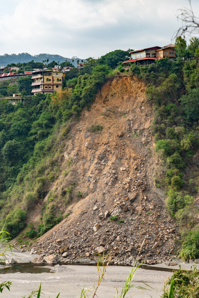
Access to accurate and reliable geospatial datasets empowers governments to conduct in-depth analyses. These datasets enable countries to monitor sea-level rise, assess coastal ecosystem changes, enhance border security, bolster disaster resilience, predict landslides, track pollution levels, promote sustainable agriculture, and model flood scenarios.
Strategic Planning for Success
Prioritising the development of geospatial capability at the country level is crucial. Failure to do so places nations at a disadvantage, hindering their ability to meet SDGs and protect vulnerable communities. A well-defined roadmap takes into account national goals, priorities, and sets achievable targets based on capacity and capability.
Embracing the UN Integrated Geospatial Information Framework
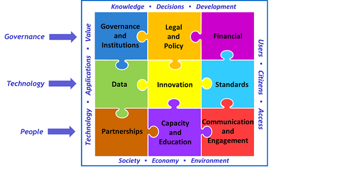
Spatial Vision passionately advocates for the adoption of the United Nations Integrated Geospatial Information Framework (IGIF). This framework serves as a guiding light, illuminating the path for effective geospatial information management at the country level. It emphasizes the integration of location information with other vital datasets to address national social, economic, and environmental challenges. The framework comprises various components covering governance, policy, legal, financial, data, innovation, standards, partnerships, capacity, education, and engagement.
Our Commitment to Geospatial Excellence
Spatial Vision stands as an expert partner in diagnosing key use cases at national and regional levels. We collaborate across all levels of government to discern the relevance of location information in achieving SDGs. Working hand-in-hand with our clients, we identify fundamental geospatial datasets, craft persuasive business cases for investment approval, and create winning strategies that bolster the geospatial capability of entire regions.
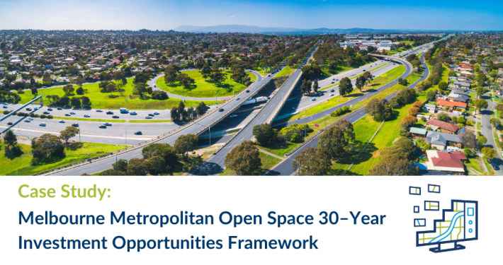
Explore our climate risk map and this case study to see our commitment in action. Together, we can strengthen global resilience and prepare for a brighter, more secure future.
For further information about GIS Strategies, Roadmaps or our Strategic Advisory Services, please contact us.
- Getting the most out of your GIS strategy & investment - July 24, 2024
- Climate Change & Homelessness: Understanding the Connection - July 24, 2024
- Navigating the complexity of geoscience data analysis - July 24, 2024

