Planning for housing, transport, as well as most environmental and social infrastructure demands reliable and accurate mapping of land boundaries.
Spatial Vision played a key role in the digitisation and alignment of the Australian state of Victoria’s property boundaries to produce a more accurate “single source of truth”, reducing costs and boosting productivity across both the public and private sectors, as well as increasing information accessibility.
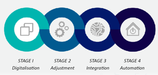
The automation and scale of international collaboration to enable the digitisation of 1,000,000 survey plans and adjustment of 4.2 million land parcels across 250,000km2 is unprecedented globally.
The project is delivering benefits to various sectors:
- Improved access to previous survey information for land and engineering surveyors
- More efficient land registration processes including digital survey plan lodgement
- More accurate property boundaries for
– all levels of government
– the building, property and construction industry
– utility providers

")