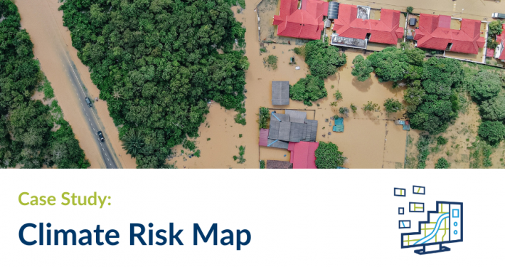
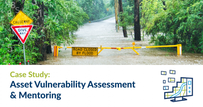
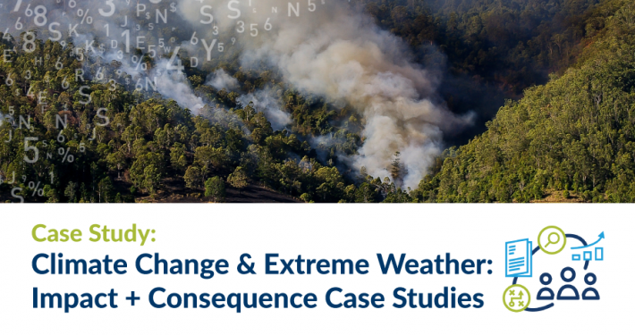
In recent years many thousands of Australians have experienced the heartache, havoc and homelessness caused by bushfires and flooding. Exposure to such natural disasters has become increasingly frequent and severe. Climate change is the increasing frequency and impact of extreme weather events.
Decisions and actions over the term of the new Australian Government will directly influence the future impacts of climate change for generations to come. As the threat to at risk residential areas rises, so too will insurance premiums – potentially to the point where owners can no longer afford home insurance, or the risk of their location is deemed so high as to be classified uninsurable.
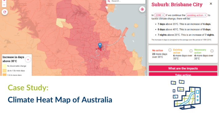
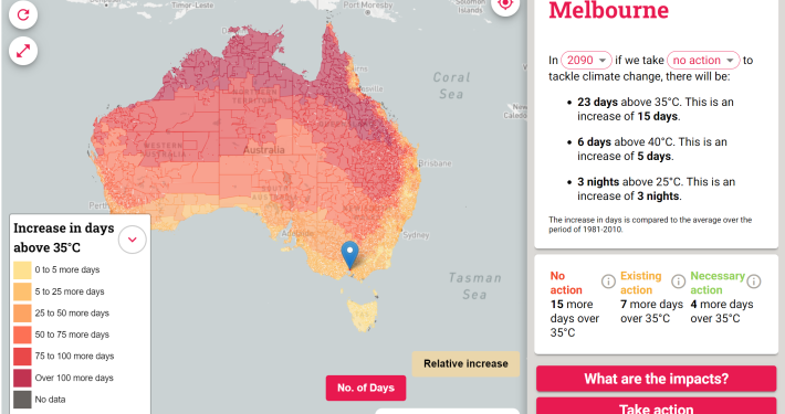
Spatial Vision worked with the Climate Council to develop a user-friendly web application for the general public as part of its Uninsurable Nation Report, designed to push the compelling financial argument for urgent and significant action to reduce emissions and achieve net zero.
Users can enter their suburb, local government area or electorate to determine the risk of fires, floods and extreme wind, based on low, medium and high emission scenarios and specified timelines (2030, 2050 and 2100).