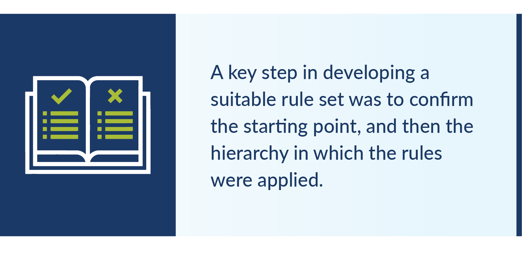
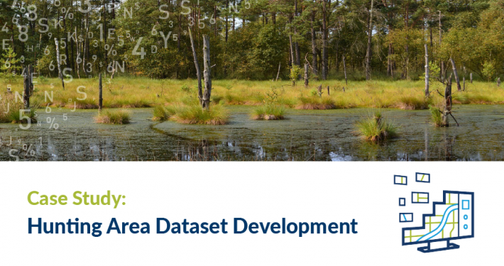
The project – supporting the implementation of core components within The Sustainable Hunting Action Plan 2016-2020 (SHAP) – aimed to confirm the process by which suitable hunting area spatial datasets were to be generated. We then implemented this data through an automated process based on spatial datasets and rules, and published the output of this process into the DELWP corporate spatial repository as well as other platforms.
To assist in the development of the rules, resolution of conflicts and uncertainty, and the testing of the results achieved, a large and diverse stakeholder reference group was established including representatives from Victorian land management agencies, hunting authorities and firearm regulation authorities, including both policy and operational staff.