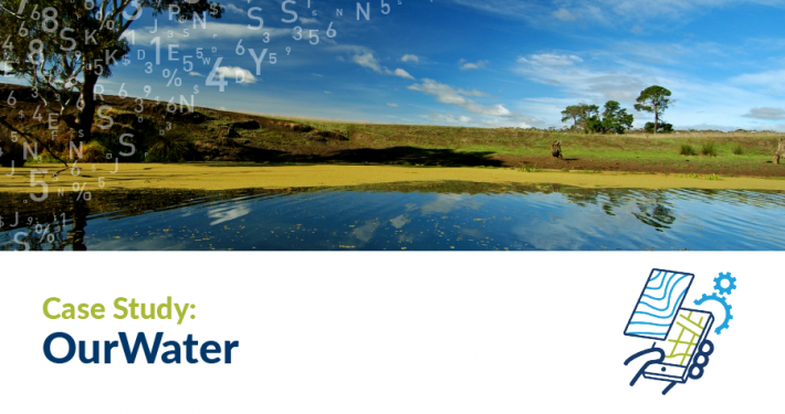
The Our Water website uses interactive mapping to provide a state-wide or local perspective of how water resources are managed and protected by the government in a clear and accessible format. Underpinning the website are cloud-based geospatial platforms that process complex data into readily understood map outputs. As a result, the website is able to share near real-time information with NSW residents regarding surface and groundwater.

Our Water offers a highly interactive way of experiencing water resources information in NSW, using a combination of videos and maps to unlock the data and enable residents to obtain a detailed, near-real time view of their state’s water resources.