The Online GIS Journey
by Marcel Sahyoune
Our changing world
As the world around us continues to change day by day as a result of the global pandemic, so must the way we both interact and communicate with our clientele in many areas of business. GIS Journey is just one of these areas at Spatial Vision to have undertaken such a change, transitioning from a physical face-to-face delivery model, into an online delivery platform for our clients, in a relatively short period of time.
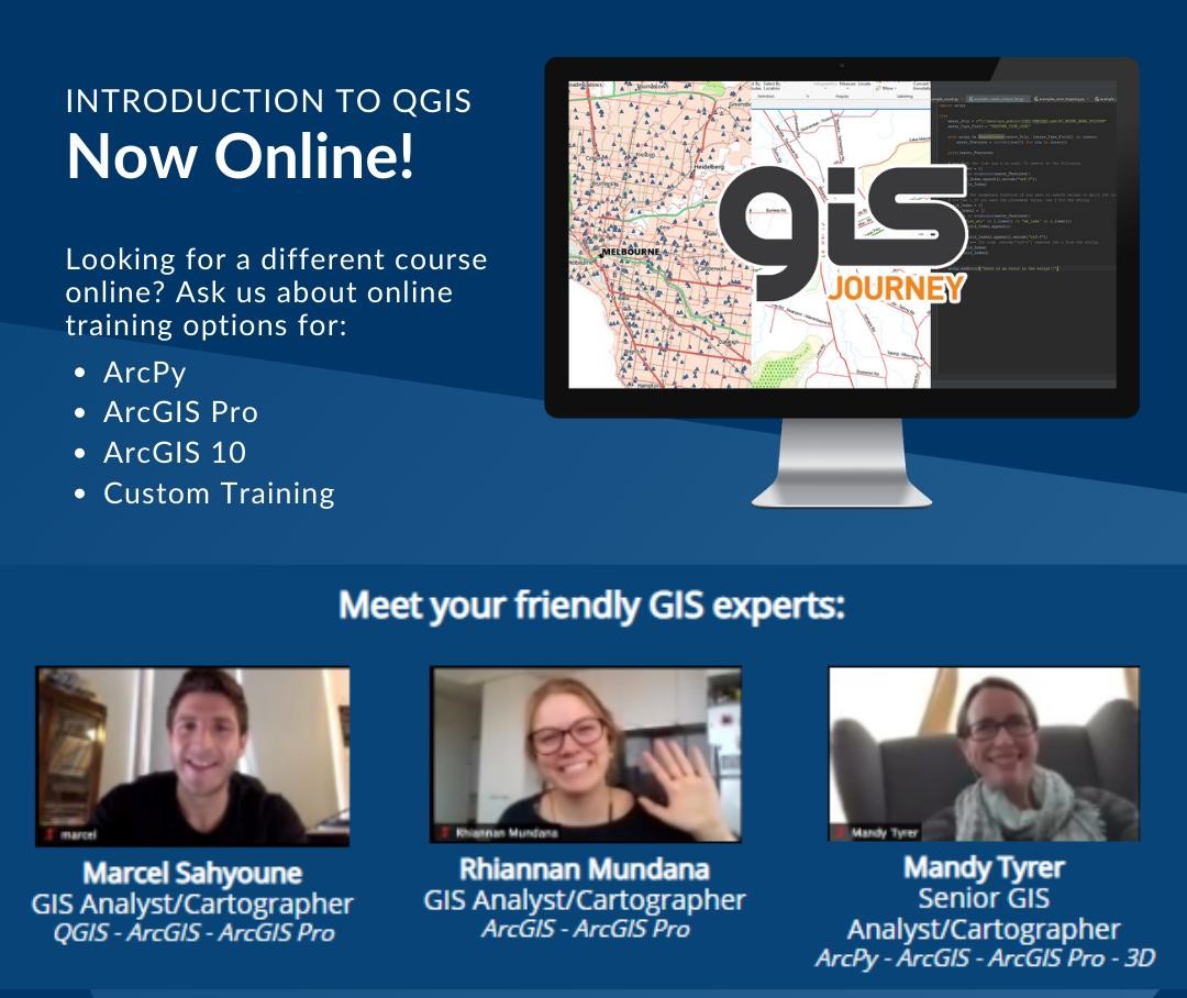
GIS Journey has, and continues to, offer clients a wide-range of introductory and advanced training courses covering GIS fundamentals. Whether it be creating a map in the ever-growing ArcGIS Pro environment or investigating and viewing data within the open-source stratosphere that is QGIS, we seek to help participants level up and progress on their GIS Journey. In this new environment, we needed to find a way to do that digitally, evolving and adapting to the new normal of learning… and we needed to do it quickly.
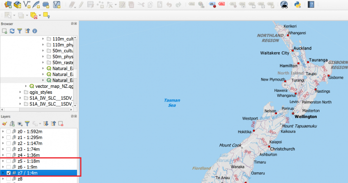
QGIS training back in February in the office – feels like a lifetime ago!
GIS Journey and COVID-19
COVID-19 has not only changed the way we live, it has also changed the way in which we work. As many slowly transitioned into a work-at-home environment, this also gave way to an increase in the number of people wanting to upskill, as such. This has ultimately resulted in a significant amount of interest in many of our training courses, in particular, our QGIS course offering. Why? It is open-source, with no need for a license, and is fairly easy to access and download. As a result, a plan was quickly devised to develop a new online format, which would enable us to successfully deliver training content through a completely new medium, using the Zoom application. How would we maintain interactivity with participants? How would we replace traditional ‘over-the-shoulder’ learning methods which have worked so well for such a long time? How do we keep participants engaged? All of these questions and more were considered throughout this challenging and exhaustive process.
From vision to reality…
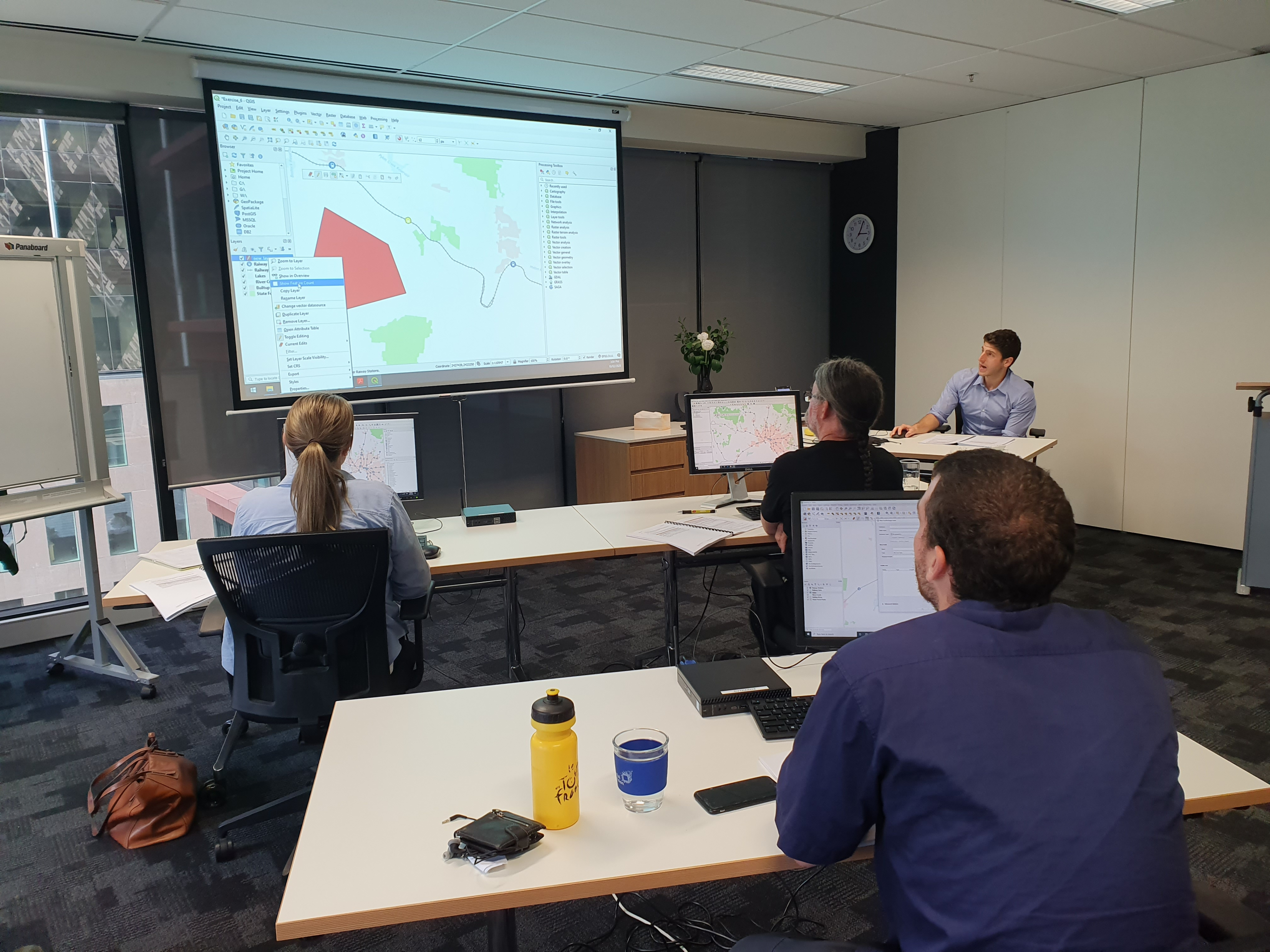
After many weeks of planning and discussion, it was time to put our plan into practice. Our very first online GIS Journey training course took place on May 19th 2020, and it was a huge success. Many thanks to my colleague Tom Hollands and others at Spatial Vision for their continued support and input, as well as the many hours of planning they all put in. You are a very big part of the reason for its continued success.
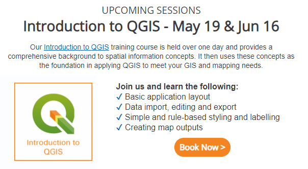
First online dates advertised in our GIS Journey newsletter.
Advantages of online training?
As a result of undertaking our first online course, we quickly identified the advantages in delivering our training content online:
- Anyone, anywhere could now take part, i.e. it was no longer limited to participants from our state or country.
- Significant reduction in costs for the company, as there is no need to travel on-site to a client office etc.
- Environmental benefits including reduced paper and ink usage from printing course notebooks, as they are now sent digitally (positive contribution toward SDG Goal 12: Responsible Consumption and Production).
Challenges from working at home
However, as we are all well aware, working from home can also bring about challenges, especially when it comes to setting up and taking part in an online course. Some of the hurdles that we had to overcome from both the trainer and participant perspective, included:
- Participants are required to download the Zoom application, and have access to the relevant GIS software
- Access to a second monitor required, to help juggle the multiple application windows as well as following the course notes and the trainer instructions.
- If participants opt to switch off their camera, it can be harder to gage the audience’s pace and progress.
- Limiting number of participants in any given session – it is much more difficult to deliver to a larger group.
- More prone to technology failures, such as internet connection and microphone issues.
- General distractions in the home environment which can prove difficult to avoid.
When it comes to distractions, there’s no one way around it. We all learn differently, so it’s about doing what works for you.
Improving interactivity and delivery
As we are continuing to evolve and expand the online format of GIS Journey, we continue to welcome general feedback from our participants in every course conducted. In addition, we have employed many new techniques to increase overall interactivity, whilst continuing to encourage collaboration between participants. Many of these techniques include:
- Trainers maintaining the ‘Chat Window’ in-between topics, to ensure questions are being answered and addressed promptly.
- Encouraging a ‘group photo’ at either the start or end of the training session to help foster connection – just one of the many ways of improving interactivity.
- Using ‘Breakout Rooms’ to engage participants in one-on-one discussions with trainers. It also gives participants a chance to interact and ask questions privately.
- Embracing multiple trainers for larger groups
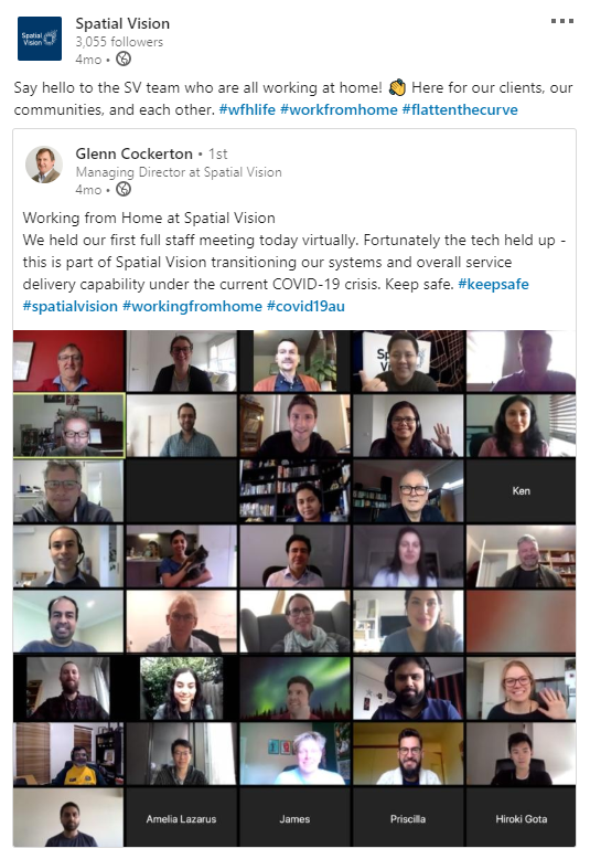
Our first day working entirely from home as a company.
Whilst all these methods have worked for our QGIS courses, we are working to ensure that ESRI based courses also follow suit, licensing issues being the biggest challenge. Nevertheless, the future looks very bright for GIS Journey online. Regardless of when we are able to safely return to the office and run face-to-face courses once again, the sheer flexibility that online training provides our clients is invaluable and for this reason, we plan to continue our online offering in the years to come.
Stay safe, stay healthy, and we look forward to welcoming you on your very own GIS Journey!
- QGIS Training At Your Workplace - October 11, 2021
- The Online GIS Journey - September 8, 2020
- GIS Journey to Noojee - December 13, 2019
Take your GIS skills to the next level with our GIS Training Courses.
Our courses are personalised to suit your unique needs and skill level.
Plus, when our trainers are not coaching, they’re applying their skills to significant spatial and mapping projects with clients like the City of Melbourne and the Department of Environment. Land, Water and Planning.
Learn more about our courses below, or ask us about a custom GIS training course.
Intro to ArcGIS Pro | Transition to ArcGIS Pro | Intro to QGIS | Intro to ArcGIS
Subscribe to the GIS Journey newsletter for news and special offers.