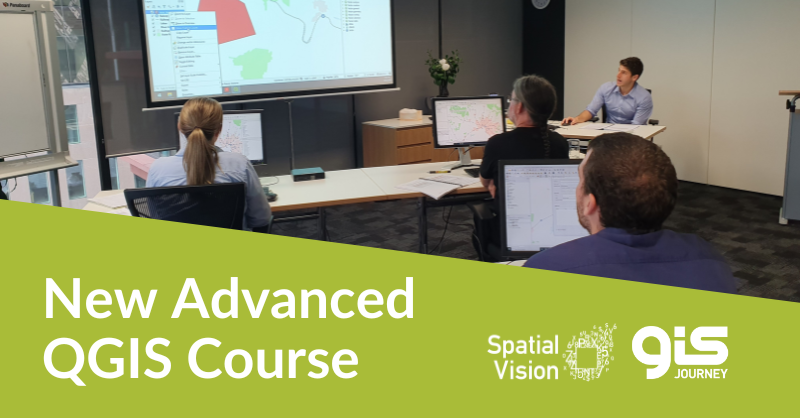
Following the high demand for our Introduction to QGIS course, Spatial Vision’s GIS Journey is excited to announce the introduction of its Advanced QGIS course. This course delves deeper into the open-source software to explore beyond the basics and highlight the untapped potential that open-source GIS can provide.
What’s new?
Created by geospatial professionals to solve and analyse real-world problems, the abilities of QGIS extend well beyond making maps and spatial data management. Our new course aims to showcase the comprehensive abilities of the software, giving you and your team the ability and direction to unlock and utilise some key advanced tools and workflows.
This course is ideal for organisations and individuals to build upon self-taught skills or those developed in the Intro to QGIS course. Users will come away from the course with a further understanding of valuable tools and processes, which have great general applications for many workplaces.
What’s covered?
Our new course, written by Spatial Vision’s geospatial professionals, aims to skill-up participants, underlining high-value processes we use daily to collect and analyse data and save time. You can expect to answer questions such as:
- How do I create an elevation profile?
- How can I collect spatial data via my mobile device?
- How do I create a web map using QGIS?
- How can I store images with my spatial data?
- How can I leverage QGIS’ downloadable tools?
Get in touch with us for the full list of topics in the Advanced QGIS course!

For more information, please get in touch: