Reliable digital cadastral mapping is fundamental to economic growth and sustainability.
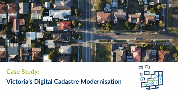
Victoria’s digitalised cadastre will deliver significant productivity gains across many sectors of the economy – from property and land development, through to utility and other infrastructure asset management. It will underpin $81 billion (AUD) in new infrastructure investment and the development of capabilities like digital survey plan lodgement, Victoria’s Digital Twin and the development of a 3D cadastre for the State
For some time the Victorian government recognised the limitations of the State’s existing cadastral mapping and the need to improve its accuracy for use in a wide range of modern applications. Developed over the past 30 years from digitised survey plan boundaries, inconsistent accuracy was widespread due to using various sources.
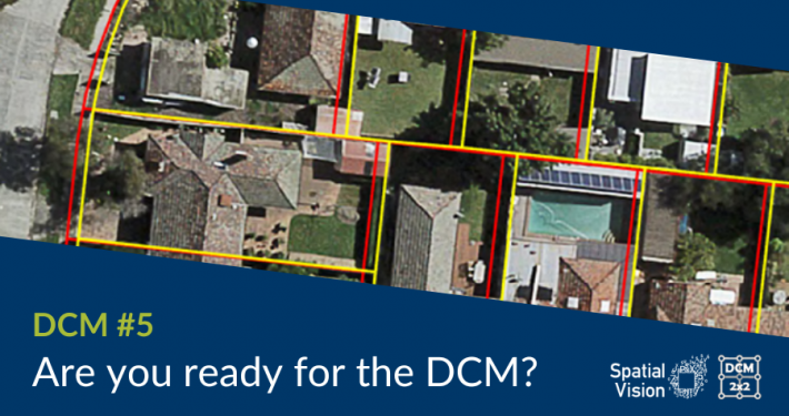
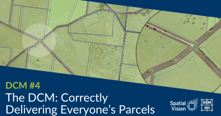
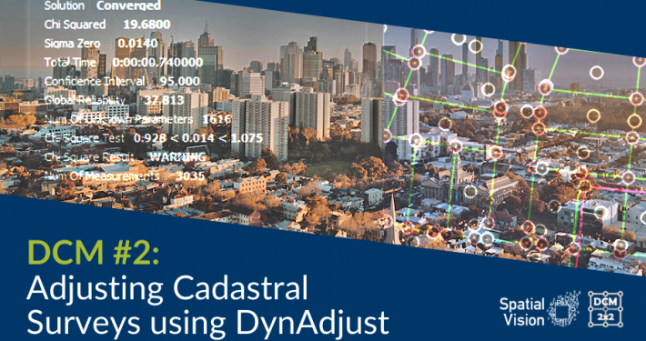
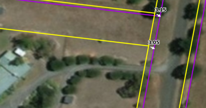
The Government’s goal was to recreate a new Victorian digitalised cadastre entailing the transformation of approximately 850,000 survey plan PDFs (describing some 3.3 million parcels) by capturing the plan measurements and using a least squares adjustment process to derive a more accurate data-driven digital cadastral representation. These plans ranged from historic (some over 150 years old) to modern. Hence, they were impacted by a wide range of survey instruments, observation types and regulatory conditions.
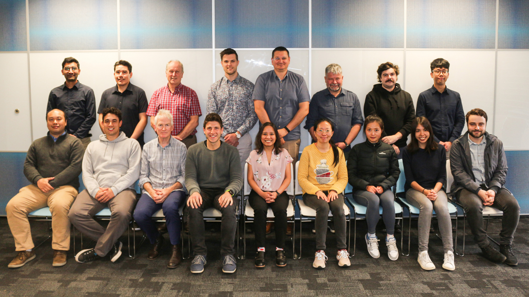
Spatial Vision’s role is leading the significant Adjustment Services stage of Victoria’s $45 million four-stage Digital Cadastre Modernisation project (with partners Reeds Consulting and Collier Geodetic Solutions). This has required building an automated adjustment engine using open-source software components, a team of skilled operators and by working closely with our Government client and local surveying experts. The articles below provide greater insight into the challenging process which was awarded for Technical Excellence by APSEA in 2022.
 https://spatialvision.com.au/wp-content/uploads/2022/09/DCM-example.png
914
1371
Samantha Sinclair
https://spatialvision.com.au/wp-content/uploads/2020/04/SV_Logo_Inline.png
Samantha Sinclair2024-07-23 04:37:162024-07-23 16:37:11Digital Cadastre Modernisation
