Vicmap Users to Benefit from New DCM Tools & Resources – Digital Cadastre Modernisation (DCM)

Prepared by Department of Environment, Land, Water and Planning (DELWP) – Land Use Victoria and Spatial Vision in consultation with a stakeholder working group, the DCM Readiness Toolkit supports users of the Vicmap product portfolio plan to adopt and integrate the DCM adjusted data into their enterprise and operational practices.
These tools aim to assist a wide range of government and non-government sectors in preparing for DCM including Local Government Authorities, Utility Companies, Catchment Management Authorities and Essential Service Organisations.
Adoption of these resources by Vicmap users will also help inform the Department’s understanding of industry readiness for adopting and using the new map database.
The project delivers a toolkit of resources for organisations to plan for and undertake the adoption of the DCM adjusted Vicmap data, including:
- A self-assessment survey tool (Readiness Index) that helps organisations understand their level of readiness to integrate the DCM adjusted Vicmap product suite into their enterprise, plus;
- A comprehensive set of Readiness Guidelines and resources including Data Audit and Business Case templates.
The Department is committed to helping the Vicmap user community making a smooth transition towards the future digital cadastre with minimised disruption to business processes and maximum benefits realised to industry. DELWP selected Spatial Vision to deliver this project due to their deep understanding of different industry sectors and were extremely pleased with the outcomes, according to Mark Grant, DCM Project Manager.
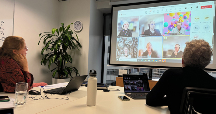
The preparation of these tools was greatly informed by a working group of geospatial professionals representing local government, utilities and emergency services. “Their insight was crucial to the success of the project”, said Graeme Martin, Principal Consultant for Spatial Vision.
Spatial Vision along with its IT business Lapis have played a key role in the development of these resources. The company along with DELWP look forward to feedback from users. All tools are now available on Land Use Victoria’s website. More information on the Readiness Survey and Guidelines can be found here.
Contribution to Sustainable Development Goals
“Increased digital and spatial services for land transactions and land information” is one success criteria for DELWP’s commitment to Productive and Effective Land Management. This Land Management Outcome is aligned to UN Sustainable Development Goals:

The DCM project is recognised by DELWP and SV as contributing to delivering to these goals.
Frequently Asked Questions (FAQs)
Click on a question below to expand:
What is the DCM Readiness Survey?
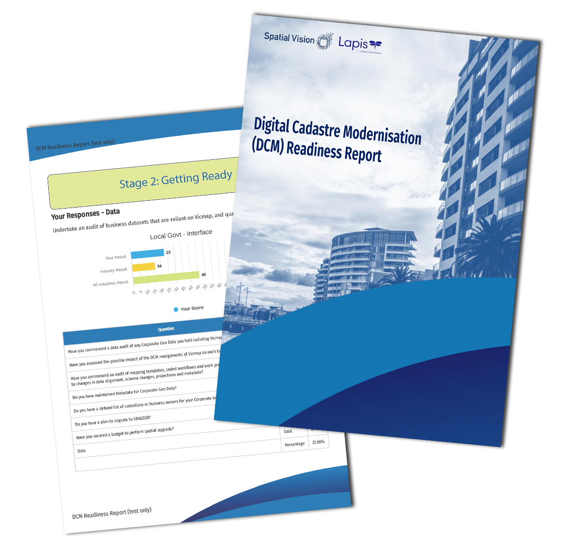
The DCM Readiness Survey is an online survey that will help you plan your organisation’s adoption of the DCM adjusted Vicmap products.
Your responses are captured in a Readiness Report which can be generated and downloaded after completing the Readiness Index. You would undertake the Readiness Index at each of your transition stages. It is expected that your responses to index questions will change as you progress through your transition.
The report provides two key scorecards to help you assess your readiness for DCM:
- VICMAP IMPACT RATING – provides an indication of the scale of impact of DCM to your organisation
- READINESS INDEX – provides an indication of the extent of preparedness that your organisation has completed. A higher percentage indicated a higher degree of readiness.
These two scores are further described in the Guidelines, available for download via Land Use Victoria. It is recommended that you first make yourself familiar with the Readiness Guidelines that sets out four transition stages.
You can re-visit the Readiness Index at any time to update your assessment. Please note that your responses are not saved, you will need to re-enter your full response each visit. Results generated and shared by the Readiness Index survey do not include the names of organisations or individuals.
How do I access the DCM Readiness Survey?
The Assessment Survey Index is accessible here.
What are the DCM Readiness Guidelines?
The DCM Readiness Guidelines contains a set of guiding principles for organisations to plan the integration of their business datasets with the new-and-spatially-improved Vicmap products. The Guidelines recommend you plan your organisation’s transition to the spatially improved Vicmap in four stages. The Guidelines are available in Microsoft Word so that you can download and adapt them to your organisational needs.
How do I access the DCM Readiness Guidelines?
The Guidelines are accessible here.
What other resources have been developed?
In addition to the Readiness Survey and Guidelines, the toolkit includes Data Audit and Business Case resources. All tools are now available on Land Use Victoria’s website. More information on the Readiness Survey and Guidelines can be found here.
About the Digital Cadastre Modernisation Project
As the State’s population continues to accelerate towards 10 million by 2051, so too must the development of housing, transport, and environmental and social infrastructure, to ensure our sustained economic resilience, liveability and wellbeing.
Realising this future requires meticulous data modelling, planning, programming and implementation, underpinned by strong governance to ensure strategic investment in the right places.
The State Government’s Digital Cadastre Modernisation (DCM) project serves as a key vehicle for improving foundation spatial data in the state. This world-leading initiative is digitally transforming Victoria’s cadastral fabric and Vicmap product suite, facilitating timely updates of key authoritative datasets.
DCM is set to contribute to accelerating digital engineering practices and future-leading concepts including Smart Cities and Digital Twins. For more information, visit the DELWP website.
For all the latest on the DCM Adjustment Stage, follow our DCM2x2 blog series:
For more information, please get in touch