Climate risk and vulnerability assessments are an important part of adaptation planning for many councils. Assessments of this nature often include complex data outputs, climate models, tabled results and pages of report findings.
With so much information, these projects can often be subject to the all-too-common occurrence of outputs being ‘shelved’ – i.e. worked on throughout the project lifespan before being put on the ‘shelf’ and never to be looked at again, despite the broad applicability and potential transferability of the project findings and outputs.
So how can a council avoid this phenomenon, and put their assessment findings to use?
At Spatial Vision, we’re working directly with councils to ensure our climate project outputs are accessible, usable, and well understood.
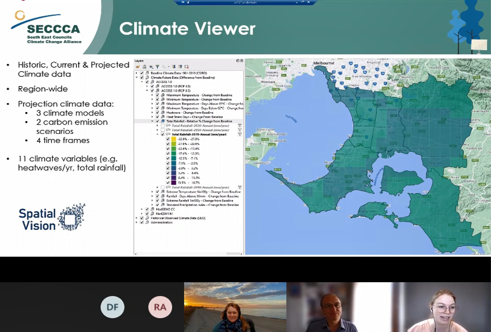
For example, we recently undertook a first-pass asset vulnerability assessment for the South East Councils Climate Change Alliance (SECCCA) to help member councils identify their vulnerable assets and better prepare for climate change and extreme weather events. The analysis and outputs of this project were provided in a number of different formats, including reports, tabular and spatial outputs within a QGIS environment. Given the complexities and depth of outputs generated from the asset vulnerability analysis, we saw this as an important opportunity to further build skills and capacity within councils through a mentoring process.
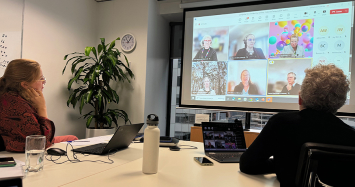
This mentoring phase of the project comprised of two key activities: beginner-friendly QGIS training hosted by Spatial Vision’s QGIS trainers, and a 2-hour online mentoring session with each council in the use and applicability of the project output data.
The QGIS beginner training was critical to ensure key council members had the basic understanding of QGIS, particularly for those councils who did not use the software internally. The nine member councils had varying levels of QGIS proficiency, ranging from very little or no experience, to advanced working knowledge. For those with less experience, we ran our 1-day Beginner QGIS Training session online, making sure that each session was limited to 5-6 participants to ensure adequate attention was being paid to each beginner. The training offered a strong foundation of QGIS knowledge and helped member councils get started on working with the assessment data compiled and symbolised within the QGIS environment. Importantly, this training provided participants with capabilities to update outputs as new data becomes available to ensure relevancy over time.
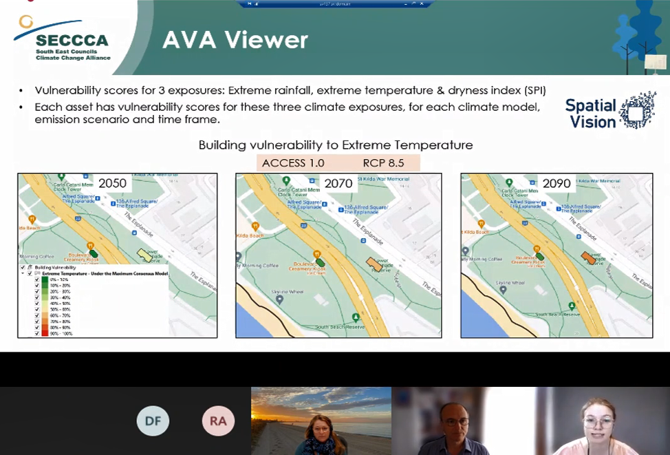
The following council-specific mentoring sessions involved interactive walk-throughs and demonstrations of the data, accompanied by a written user guide for the participants to follow along with during and after the session. Participants were able to explore and navigate the data alongside the Spatial Vision team, and significantly, these sessions addressed potential key questions of concern that the data could answer – for example, “Which of my buildings are the most vulnerable when considering a dry and hot 2050 future?”. These sessions allowed participants to put the data into action, with live demonstrations based on a variety of scenarios that came out of these questions. In undertaking this exercise, council members developed a strong understanding of exactly how the data could be applied in varying contexts.
Both mentoring activities were well received by SECCCA member councils, with participants noting:
“Spatial Vision conveyed a clear and concise session on complex data and usage, and worked through difficulties of online delivery”
“Well done Rhiannan and team to pull such a hard project together in to easily accessible manner.”
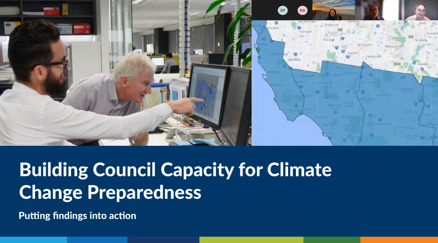
Overall, these mentoring activities have provided the council members with a sound understanding of the complex output data, and significant technical knowledge they would not have otherwise gained. The sessions have developed councils’ internal capabilities to ensure they derive the insights they need from the project outputs to support their decision making, and ultimately plan and prepare for climate change impacts. Building council capacity through hands-on mentoring was a key deliverable and component of the SECCCA Asset Vulnerability Assessment project and ensures that the project outputs continue to be an important tool in council decision making and planning processes for the future in response to climate change and extreme weather events.
Rhiannan is our 2019 Graduate Cadet and has a passion for using GIS analysis to solve real-world spatial problems. In her spare time, she enjoys exploring the outdoors and cooking home-made cheeses.
- Building Council Capacity for Climate Change Preparedness - December 22, 2021
- Why women in STEM need mentors – a geospatial perspective - November 25, 2021
- Planning for Climate Change: An Evidence-Based Approach - November 19, 2020