High Performance Mapping
Next-gen digital products now available. Enterprise-level topographic maps to suit your environment. Statewide seamless coverage.
As used by ![]()
![]()
Next-gen digital products now available. Enterprise-level topographic maps to suit your environment. Statewide seamless coverage.
As used by ![]()
![]()
Next-gen digital products now available. Enterprise-level spatial maps to suit your environment. Statewide seamless coverage.
As used by ![]()
![]()
![]()
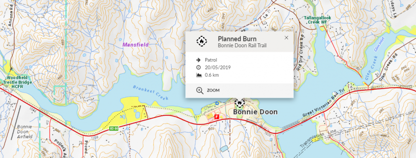
The latest, authoritative topographic mapping with multi-level scaling. Mapscape can be incorporated into desktop platforms as a seamless base map, or hosted in your own environment like VicEmergency web and mobile.
Please note: Mapscape for iPad App and Datapack are no longer supported. Please contact us if you have any questions.
Comprises four state-wide tile sets of topographic map images with 13 scale levels.
Comprises one state-wide tile set of topographic map vector tiles with multi-level scaling.
Custom hosting arrangement with integration assistance from our team of specialists.

15+ years of quality topographic mapping now available digitally. Our digital Vicmap Book series includes large scale maps of cities and towns with over 80 input layers sourced from government agencies and private organisations. Available in a variety of file formats including print-on-demand PDF eBook.
Digital raster map sheets from our Vicmap Book series with state-wide coverage including five Victorian regions.
Interactive digital eBook with search and print-on-demand capabilities. Accessible online and offline on any device.
Portable mobile version accessible via the Avenza Maps app. Utilises GPS – no mobile reception or internet required.


“Spatial Vision can be relied upon to produce high-quality mapping products.”
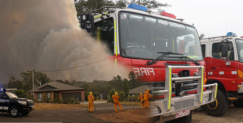
Used by Victoria’s Emergency Services, our topographic maps are available in a range of formats to suit your organisation’s requirements.
Enterprise data is available in multiple map projections and is updated at least once per year.
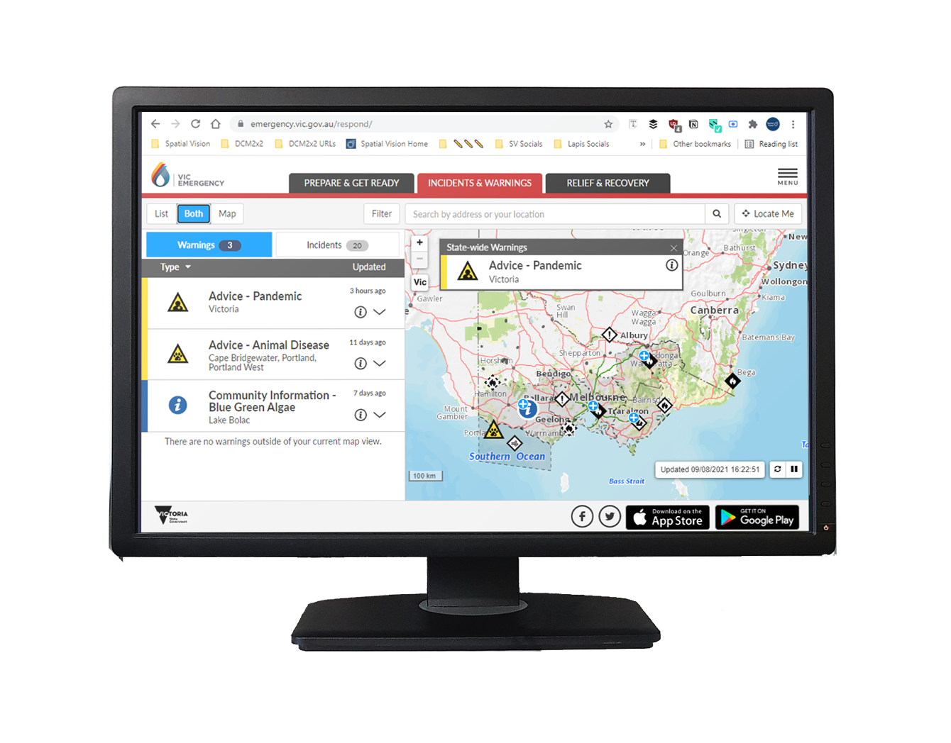
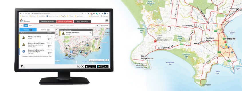
Spatial Vision are proud to provide Mapscape as the official base for VicEmergency. The platform is used by the Victorian Government to provide warnings and emergency information to all Victorians.
The latest Mapscape Edition 12 is now available. Mapscape delivers high performance, multi-scaled topographic mapping for Victoria’s emergency services.
![]()
![]()
![]()


