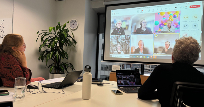
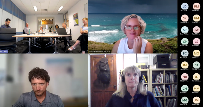
GIS Water User Group – 40th Meeting
The GIS Water User Group recently held its 40th meeting. The purpose of the User Group is to assist water authorities to leverage their investment in spatial information and technology to support improved planning and managing of assets. Meetings are generally held in Melbourne and attended by water authorities responsible for delivery of urban and rural services.
Most of the authorities are regionally-based from across Victoria, southern NSW and Tasmania. The meetings provide a great opportunity for officers to share their experiences, pain points and plans with their peers. Typically meetings involve officers responsible for GIS, Asset Management and IT.
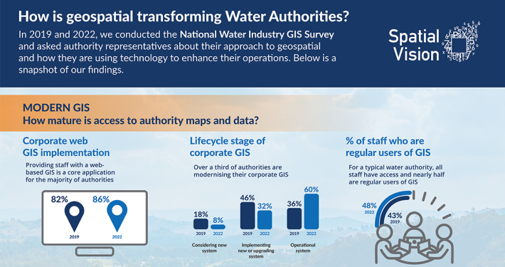
At the most recent meeting, Alena Moison from Victoria’s Department of Environment, Land, Water & Planning presented information on how to coordinate and prepare for implementing the new datum, GDA2020.
Spatial Vision initiated the establishment of the User Group, known as GWUG, over ten years ago. Graeme Martin, General Manager for Operations, said that the company was proud to support the water industry through hosting GWUG. There has been a remarkable amount of technology change over the past ten years, however, many of the common issues facing these authorities today remain the same, including data accuracy, technology turn-over and limited resources.
GWUG provides the chance for water authority officers to network and collaborate. It also enables Spatial Vision to better understand the challenges faced by these authorities to improve the relevance of our services.
For more information, please get in touch