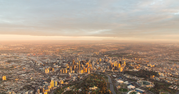
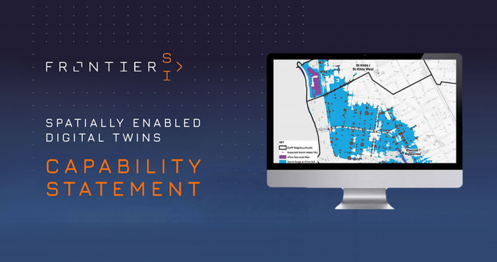
We assist planners and policy makers to better quantify the impact of urbanisation and analyse potential future scenarios.
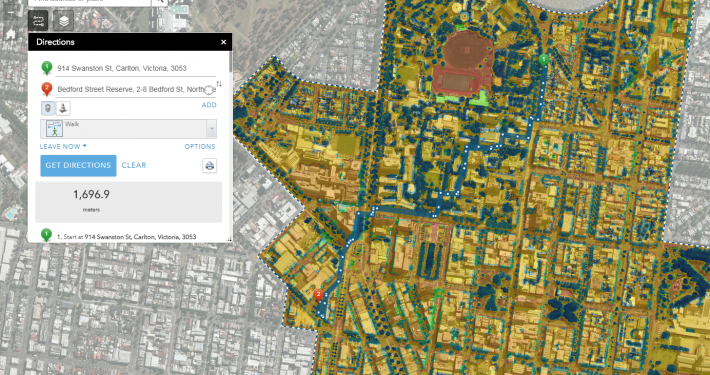
Our services include geospatial analysis and visualisation, generation of data on housing stock and modelling of scenarios. We work with University partners and urban planning consultants to generate deeper insights and build smart cities.
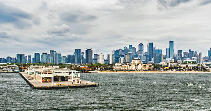
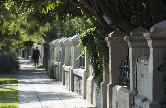
Spatial Vision also assists place-makers to assemble, analyse and visualise the information required to understand the challenges facing urban, peri-urban, regional and rural areas.
 https://spatialvision.com.au/wp-content/uploads/2024/02/Case-Study-web-tile-3.png
500
900
Samantha Sinclair
https://spatialvision.com.au/wp-content/uploads/2020/04/SV_Logo_Inline.png
Samantha Sinclair2024-02-15 13:48:392024-10-23 15:38:13Melbourne Metropolitan Open Space 30–Year Investment Opportunities Framework
https://spatialvision.com.au/wp-content/uploads/2024/02/Case-Study-web-tile-3.png
500
900
Samantha Sinclair
https://spatialvision.com.au/wp-content/uploads/2020/04/SV_Logo_Inline.png
Samantha Sinclair2024-02-15 13:48:392024-10-23 15:38:13Melbourne Metropolitan Open Space 30–Year Investment Opportunities Framework