Leveraging our strong partner network and subject matter experts, Spatial Vision’s international capacity building services help organisations around the world take transformative steps towards a smarter future.
We are active members of the United Nations Committee of Experts on Global Geospatial Information (UNGGIM) and use the Integrated Geospatial Framework (IGIF) when developing geospatial capability for our clients.
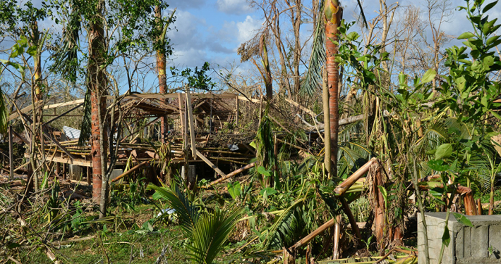
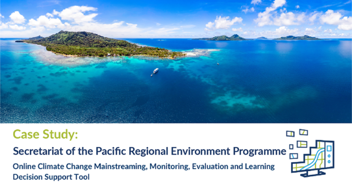
Climate change threatens the economic, social and environmental stability of the Pacific Islands. Using earth observation technology, governments can monitor environmental changes and plan mitigation or rehabilitation efforts. Spatial Vision can help to develop roadmaps and country-level action plans to maximise potential from geospatial technology and ensure sustainable development.
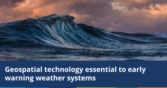
Early warning systems for mitigation of disasters and risks is important in developing a nation’s resilience. Having a coordinated approach to spatial data management will support data standardisation and sharing so that early warning systems can be developed. Spatial Vision can help to realise the environmental and social benefits that can come from earth observation technologies and spatial data by developing a data framework and policy.
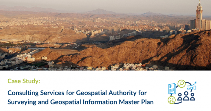
The Middle East region is growing rapidly and there is increasing pressure on transport networks, infrastructure, housing and resources. Smart services call on the Internet of Things, bringing together multitudes of data that can help drive innovative, smart city design and data services. Spatial Vision can develop data frameworks and strategies to establish a foundation for data services that call on geospatial information. We help to establish geodetic networks, develop cadastral maps, develop data specifications, provide data architecture design and infrastructure and can work with you to build data services that best serve the public.
Environmental issues such as drought and flooding should be managed via data-driven decision making and evidence-based data from earth observation and geospatial technology. Putting in place spatial data infrastructure with agreed data standards, policies, architecture and governance will avoid duplicate investment in data collection activities, and provide a means to disseminate data that will encourage the development of data tools. Spatial Vision can assess development requirements and develop a roadmap that will mature a region’s geospatial capacity, so that spatial data investment can be maximised.
Our consulting team brings a wealth of experience in delivering master plans for national and international, government and private sector organisations.
Our consulting, analysis and mapping and solution development services allow us to apply the full capabilities of our geospatial knowledge and experience to complex spatial, environmental and social issues.