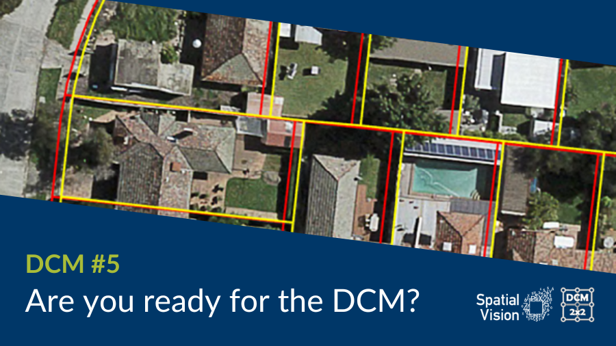
The Digital Cadastre Modernisation project (also known as DCM), is here. DCM is a major upgrade of the Victorian State Government’s managed property dataset, Vicmap Property. The Department of Environment, Land, Water and Planning (DELWP) has started to release the first updates to the new cadastral map base.
DCM is being released by Local Government Areas (LGAs). As of this notice the LGAs released are:
- Hobsons Bay (released 24 October)
- Queenscliffe (released 31 October)
- Brimbank (released 14 November)
- Nillumbik (released 21 November)
See the full release schedule here
What does Cadastral Modernisation mean?
Vicmap Property forms the basis for a numberof key Vicmap datasets. In addition, many organisations such as councils and utilities use Vicmap Property as a map base on which to align their own assets.
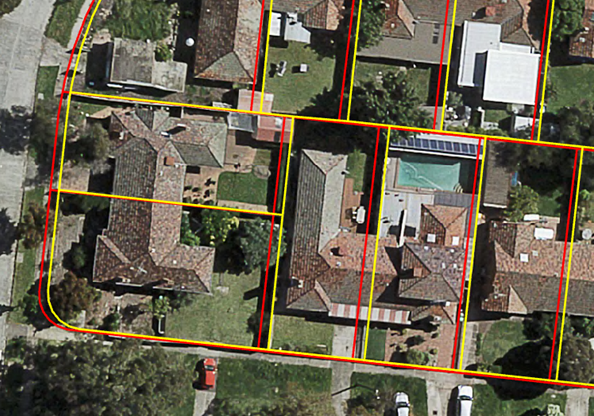
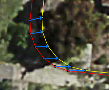
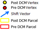
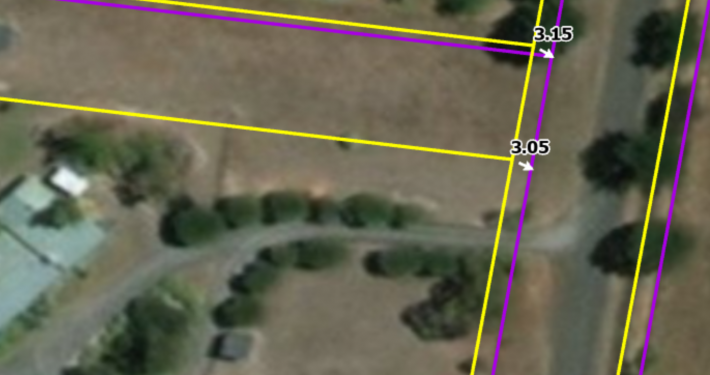
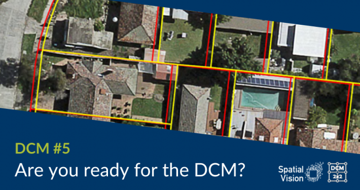
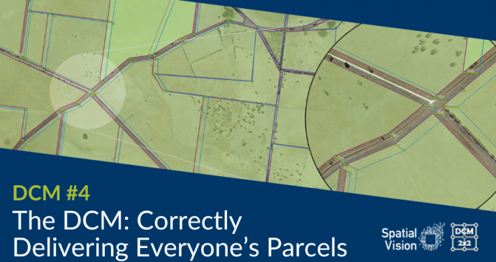
The aim of DCM is to correct parcel representation to more accurately reflect the real-world location of parcel boundaries. With the advent of this adjustment, Vicmap products will have their geometry altered and hence, many related asset datasets will need to be aligned to this new parcel fabric.
Quick Links
My LGA isn’t even ready yet
Preparation is vital. Once the data is incorporated into Vicmap, changes will cascade through Vicmap products derived from Vicmap property such as Crown land tenure and planning zones. The old geometry will no longer be maintained and any updates to the cadastre going forward will be based upon the DCM adjusted data. This includes Incremental Update Files (IUF’s).
Help, my LGA is complete but we aren’t ready!
It is not the end of the world! We can certainly assist you migrating and adjusting to the changes. We are actively working on solutions for multiple stakeholders to assist their migration efforts to adopt the DCM changes.
I don’t know where to begin
An essential starting point is the understanding of relationships between your data and Vicmap. This can provide indication of what data will potentially be affected and what is the best course of action to align your data to the new cadastral map base. More often than not, bulk transformations of your data will create more issues than anticipated.
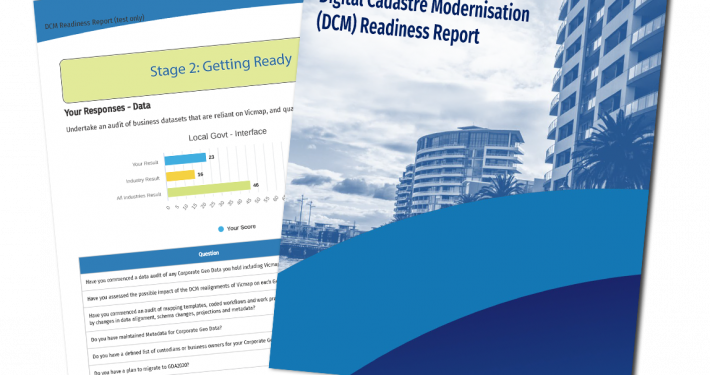
Start here using the Readiness Toolkit
Spatial Vision is more than happy to help guide you through the process! We are assisting multiple clients investigate their datasets to identify how they may be impacted so they will be appropriately informed and prepared for the changes.
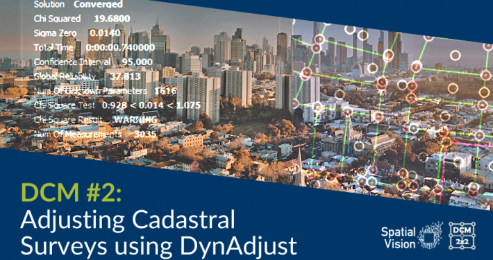
As a critical first step, it is important that dataset coordinate systems are updated from GDA94 to GDA2020. GDA2020 became the standard positioning system in December of 2017.
More information on GDA2020 can be found here
What can Spatial Vision do to help?
We recognise the complexity involved in this update and have been working on a series of tools and processes to assist the journey of adopting the DCM changes.
This includes Data Auditing Services, Data Relationship analysis, and Data Realignment services.
Find out more about our services here

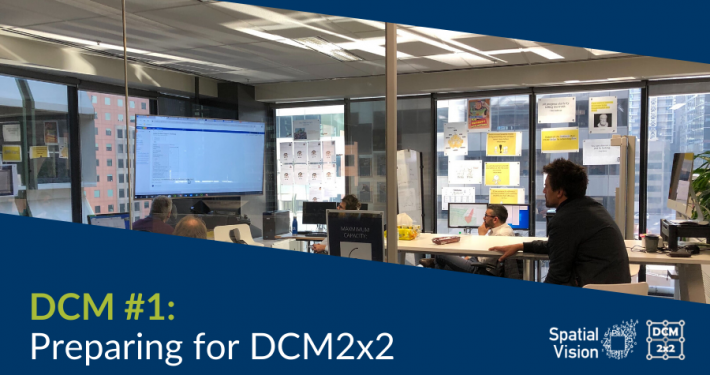
Image: Members of the DCM team
For more information about DELWP’s DCM project, visit: land.vic.gov.au/surveying/projects-and-initiatives/digital-cadastre-modernisation/about-the-project
Learn more about our Digital Cadastre Transformation services here.
- AASB S2 Climate-related Disclosures – Focus on Risk - December 2, 2024
- Unlocking the Geospatial Potential of Water Authorities - November 25, 2024
- 8 Factors of Climate Readiness - November 19, 2024

