“Location” is crucial information for the water industry to not only enable the visualisation of assets and infrastructure, but also to report on water main breaks, customer complaints, asset condition, work orders, field operations, new property developments, and other customer service areas.
For example, in NSW $16 million in annual cost savings were directly attributed to the use of geospatial information water utilities. These estimates were based on net productivity impacts of 3% of labour costs (source: Economic Value of Spatial Information in NSW, CRC for Spatial Information/ACIL Allen, 2017). Additionally, this study found that the use and application of geospatial information in asset management across all sectors in NSW delivered net annual benefits of $43 million, increasing to $59 million by 2022.

 https://spatialvision.com.au/wp-content/uploads/2020/12/DPIE-Case-Study-cover.png
500
900
Spatial Vision
https://spatialvision.com.au/wp-content/uploads/2020/04/SV_Logo_Inline.png
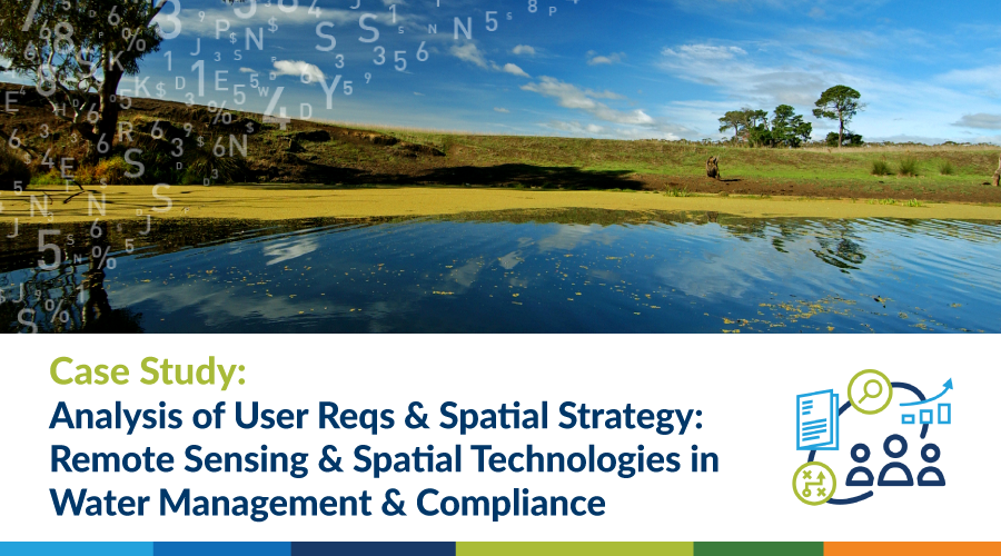
Spatial Vision2020-12-22 11:35:152024-10-11 16:26:18Case Study: Analysis of User Requirements & Spatial Strategy – Remote Sensing & Spatial Technologies in Water Management & Compliance
https://spatialvision.com.au/wp-content/uploads/2020/12/DPIE-Case-Study-cover.png
500
900
Spatial Vision
https://spatialvision.com.au/wp-content/uploads/2020/04/SV_Logo_Inline.png
Spatial Vision2020-12-22 11:35:152024-10-11 16:26:18Case Study: Analysis of User Requirements & Spatial Strategy – Remote Sensing & Spatial Technologies in Water Management & Compliance