Geospatial Trends in the Water Industry
The water industry is undergoing a significant digital transformation, with the integration of geospatial technologies playing a crucial role. Water authorities are leveraging geospatial data to enhance their decision-making processes, optimise resource allocation, and improve overall operational efficiency. These trends highlight the growing importance of geospatial solutions in the water industry’s continuous pursuit of effective water management strategies.
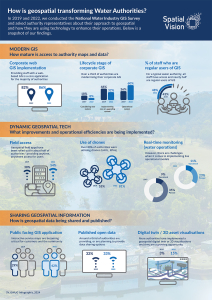
Spatial Vision’s Water Industry Geospatial Capabilities Survey has been conducted periodically over the last decade and is produced to assist water industry authorities across Australia, to benchmark their geospatial capabilities against industry peers. It’s also a useful tool to identify gaps and possible opportunities for improvement and leading practices.
Explore our insightful infographics below showcasing trends from 2019 and 2022.
Curious about the progress and trends for 2024?
Join your colleagues and peers by completing this survey to contribute to a comprehensive overview of the current state of geospatial capabilities within the water industry, and specifically, where your authority is positioned. The closing date for survey participation is 17 May, 2024 and all participants can request a copy of the summary report.
Background
Spatial Vision initiated the Geospatial Water User Group (GWUG) over 18 years ago with the purpose of helping water authorities leverage their investment in spatial information and technology and support improved planning and management of assets. Most importantly, the meetings are a networking opportunity for geospatial professionals working in water authorities responsible for delivery of metropolitan, urban and rural services.
The meetings provide a great opportunity for officers responsible for GIS, asset management and IT, to share their experiences, pain points and plans with their peers.
Graeme Martin, Deputy CEO, says, “We’re proud to support the water industry by hosting GWUG. There has been a remarkable amount of technology change over the past fifteen years however, many of the common issues facing these authorities today remain the same, including data accuracy, technology turn-over, limited resources and support of senior management.”
GWUG provides the chance for water authority officers to network and collaborate. It also enables Spatial Vision to better understand the challenges faced by these authorities and improve the relevance of our services.
You may also be interested in…
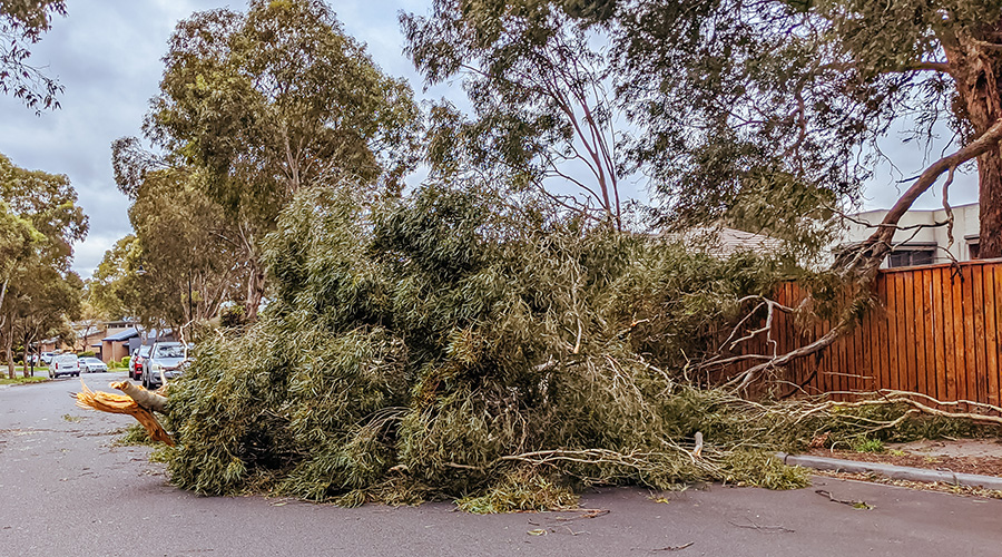
The role of geospatial intelligence in building resilience
Climate data informed geospatial strategies are essential for developing multi-hazard early warning systems to safeguard lives and livelihoods.
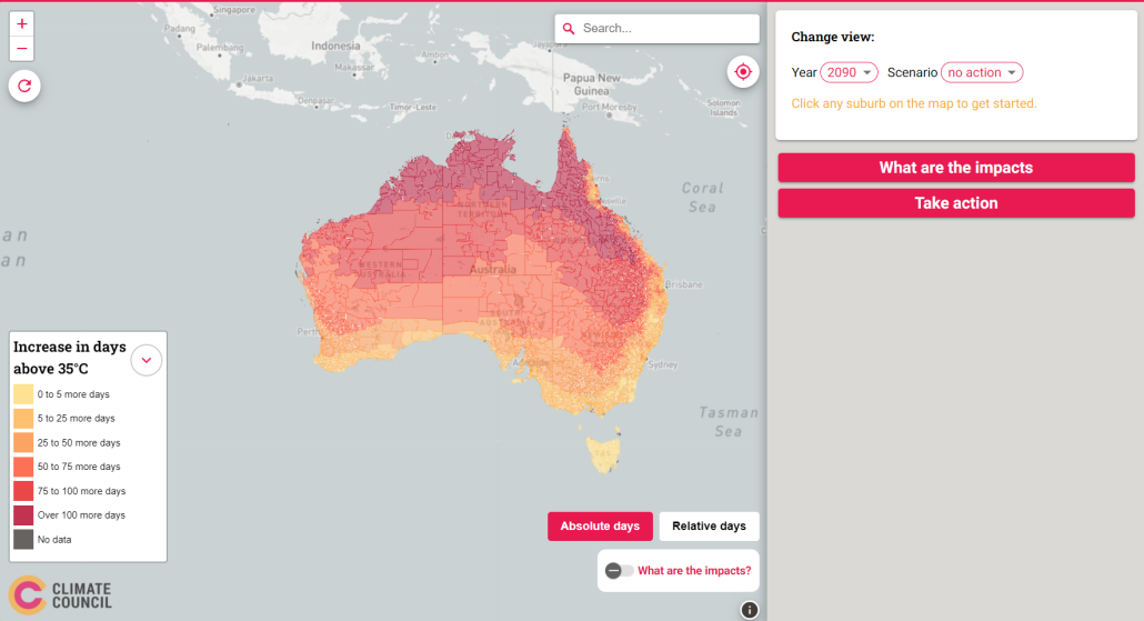
Hot enough for you? Climate Heat Map of Australia released
With the help of Spatial Vision, the Climate Council have released an interactive tool that shows how cutting climate pollution will limit extreme heat in our neighbourhoods.
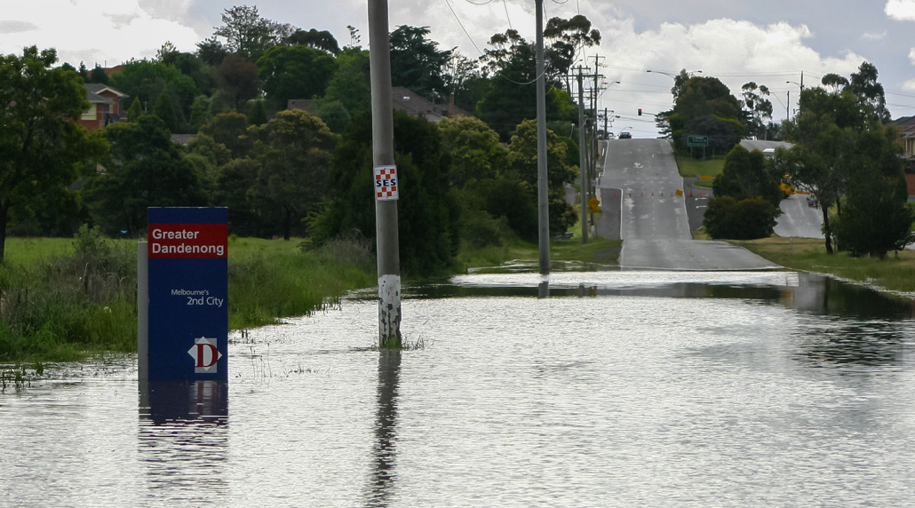
Assisting local councils to prepare for climate impacts
The South East Councils Climate Change Alliance (SECCCA) engaged Spatial Vision to undertake an asset vulnerability assessment on selected assets and a financial review to assist member councils in better understanding and planning for the likely impacts of anticipated climate change.


