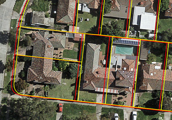
Digital cadastral mapping involves the spatial representation of property boundaries.
Accurate cadastral mapping is vital for confident planning of services and assets for communities, infrastructure, utilities, telecommunications and transport. This provides a foundation for digital twins and smart city data services.
Without accurate cadastral mapping, managing land use, understanding land ownership and planning for the future can be challenging.
Spatial Vision has the experience and tools to assist you in:

A digitally transformed cadastre will lead to more efficient land registration processes, protection of landholder rights, improved land use planning and accurate land tax calculations.

The Government of Victoria’s Digital Cadastre Modernisation (DCM) project is a key vehicle for improving foundational spatial data. This world-leading initiative is digitally transforming Victoria’s cadastral fabric and Vicmap product suite, facilitating timely updates of key authoritative datasets.
The DCM is set to contribute to accelerating digital engineering practices and future-leading concepts including smart cities and digital twins.
Spatial Vision has developed an open-source system to deliver the adjustment phase of this project, where we have adjusted over 3.1 million parcels.

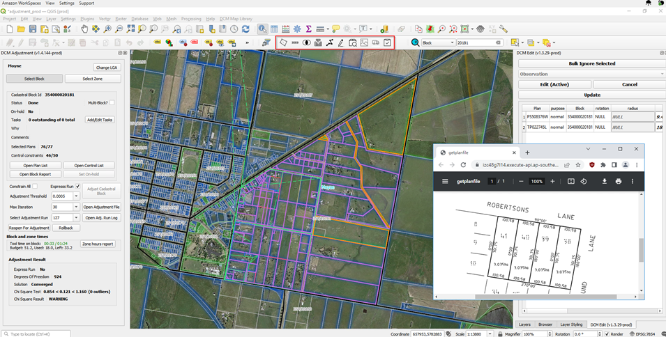
Our open-source toolkit comprises a cloud-based spatial data store, a highly customised QGIS operator interface, and a suite of Python and PostGIS-based tools and processes. The highly regarded and widely used DynAdjust open-source least squares adjustment engine is at the core of the system.
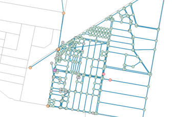
Our Toolkit provides the capability to undertake cadastral adjustments from LandXML format plan and survey data to create an adjusted and fully integrated cadastral fabric.
