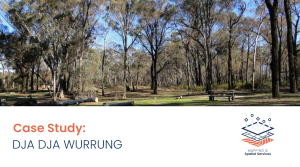
Case Study: Melbourne Metropolitan Open Space 30–Year Investment Opportunities Framework

Victoria’s Open Space Strategy 2021 for metropolitan Melbourne required Spatial Vision to develop a spatial framework to inform investment priorities and funding for open space actions supporting biodiversity, climate resilience, health and social-economic benefits.

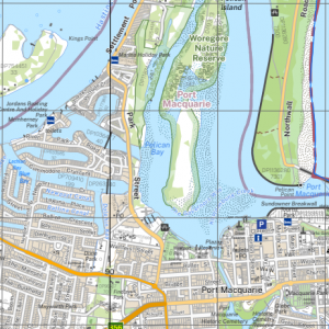
NSW releases new base maps

DCS Spatial Services has released the next generation digital centric NSW topographic map series. Spatial Vision played an important role in its creation.

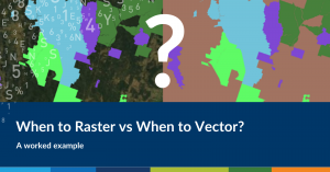
When to Raster vs When to Vector? A worked example

Harmen Romeijn demonstrates how vector data compares to raster in GIS, and different tools used for analysis. Read on to find out more.

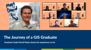
The Journey of a GIS Graduate: 2021 Graduate Cadet Program

What’s it really like to work in geospatial science? Our 2021 Graduate Cadet David Pepin shares his experience as a graduate spatial analyst, and what you can expect from the Cadet program.

Case Study: Land Use Analysis and Implementation Support

Spatial Vision developed a contemporary, authoritative government land use dataset to assist government in improved analysis and insight into land use. The solution supports future decision-making with precise, reliable and comprehensive evidence.

Case Study: Hoddle Grid Heritage Review

The City of Melbourne (CoM) engaged Spatial Vision alongside three heritage consultancies (Context, Ochre Imprints, On Country Heritage and Consulting) to provide a comprehensive review of heritage buildings in the Hoddle Grid. Through thematic and spatial analysis, the CoM gained a richer and more nuanced understanding of the cultural heritage that exists throughout the urban landscape of the central city.

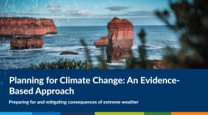
Planning for Climate Change: An Evidence-Based Approach

For generations, Australians have witnessed and endured the harsh realities of our landscape. From unrelenting droughts to catastrophic bushfires, the country is no stranger to extreme weather.
However, with the frequency and severity of these extreme weather events predicted to increase in the near future, it’s important now more than ever to address key questions of how we can better prepare for them and how can we learn from these events to mitigate consequences into the future.

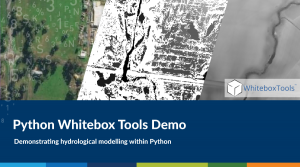
Python Whitebox Tools Demo

When talking about 3D data we often think about high end fancy visualizations that give that wow factor where you can barely tell the difference between what is real and what is digital. In the spatial sciences industry we are not normally concerned with the Ultra High Definition graphics, Ray Tracing, and photorealistic texturing; normally we settle for much less because we only need the basics for analysis…

Spatial Vision to Play a Key Role in Victoria’s Digital Cadastre Modernisation

Spatial Vision is pleased to announce that it will lead the Adjustment Services stage of Victoria’s Digital Cadastre Modernisation Project. Spatial Vision is working in collaboration with Reeds Consulting and Collier Geodetic Solutions for this project.

Case Study: 1800 My Options

Spatial Vision designed and developed a web mapping application for the 1800 My Options service, in partnership with Women’s Health Victoria. The application maps and organises registered contraception, pregnancy options and sexual health service providers based on the type of provider, the services offered and other key search criteria to assist women in accessing those services as per their individual needs.