Tsunami of Data for Local Government
Adapted from a presentation by Graeme Martin
 There has never been a more interesting time to be involved in Local Government GIS, especially in Victoria.
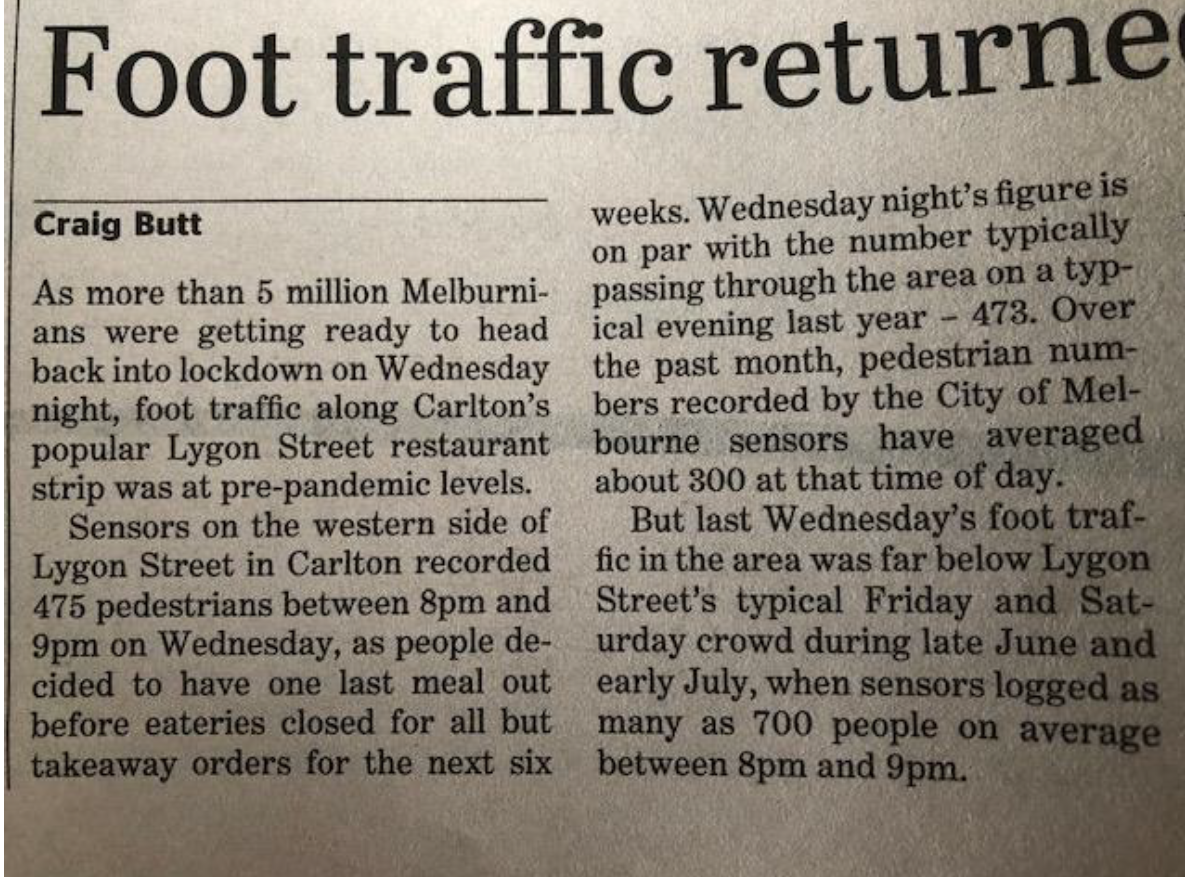
There is a Tsunami of new spatial data becoming available to Local Governments that may open up opportunities for delivering more spatially intelligent and reliable services.
But it’s not without its challenges. With so much data on the horizon, it can be quite overwhelming to navigate.
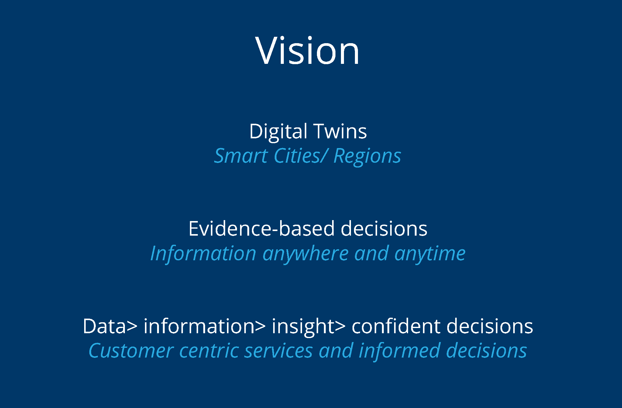
Graeme Martin recently spoke about the challenges, opportunities and possible responses to the initiatives cropping up, and collaborative approaches to making the most of this transformative time. Take a look below.
There has never been a more interesting time to be involved in Local Government GIS, especially in Victoria.
There is a Tsunami of new spatial data becoming available to Local Governments that may open up opportunities for delivering more spatially intelligent and reliable services.
But it’s not without its challenges. With so much data on the horizon, it can be quite overwhelming to navigate.
Graeme Martin recently spoke about the challenges, opportunities and possible responses to the initiatives cropping up, and collaborative approaches to making the most of this transformative time. Take a look below.
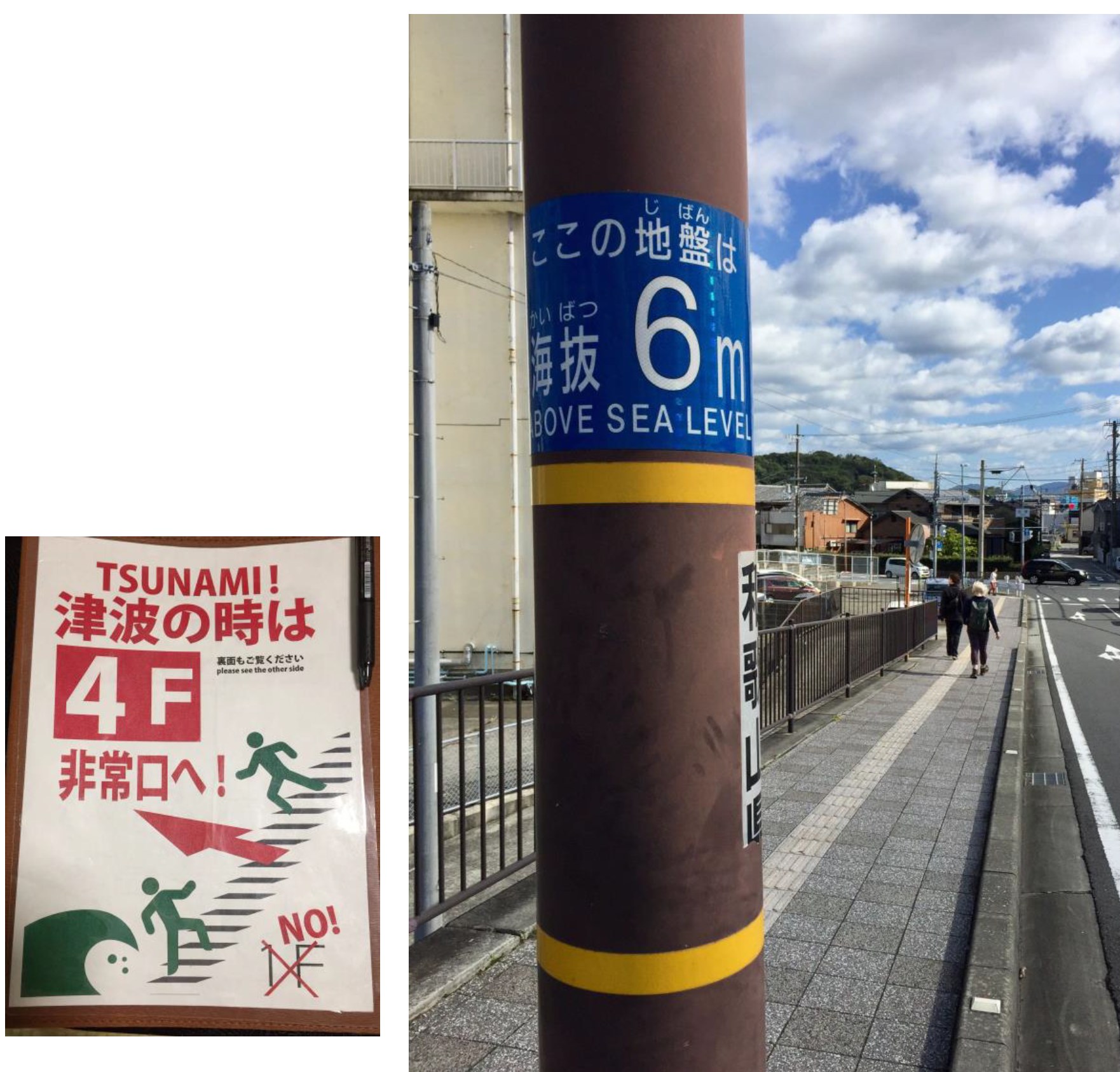
We often think about tsunamis as long high sea waves caused by an earthquake, submarine, landslide, or other disturbance.
Let’s consider its other meaning:
“the arrival or occurrence of something in overwhelming quantities or amounts”

