Spatial Vision Digital Twin Capability Partnership with FrontierSI
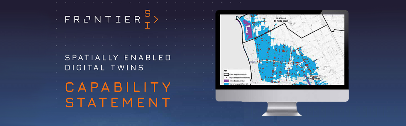
Spatial Vision has been a long term partner of FrontierSI and we are pleased to be included in their new Spatially Enabled Digital Twin Capability Statement.
We are committed to helping build an ecosystem of integrated Digital Twins to support decision making and service delivery across a range of sectors. This commitment leverages our combined expertise spanning the entire digital twin development and deployment phases, from acquiring new 3D datasets through to sophisticated spatial modelling to derive valuable insights to decision makers.
Whilst the concept of a Digital Twin (DT) may be based on dynamic models of assets, in urban areas, the complexity and breadth of these models is often overwhelming. Spatial Vision has been working across a range of projects that are not only based on these digital asset models, but also, importantly, take into account the other very important characteristic of DTs – the need for real-time data flows from sensors, and control via feedback systems.
Faced with the current COVID-19 crisis, the role played by Digital Twins is more important than ever in helping to deliver sustainable development as well as addressing other key global issues such as Climate Change and population growth.
Better decision making with digital twin modelling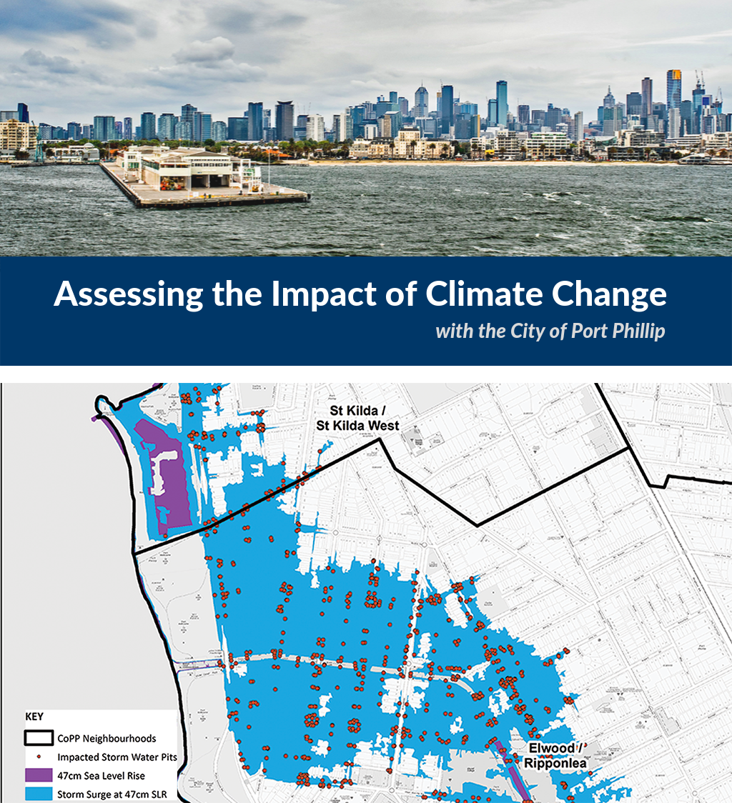
Using the latest climate modelling available from the CSIRO, suitably down-scaled for this application, Spatial Vision conducted a first-pass Asset Vulnerability Assessment for the City of Port Phillip (CoPP) to better understand the likely impacts of anticipated climate change for council assets. The assessment identified which of the council’s built infrastructure and natural assets, such as roads and parks, will be impacted by future sea level rise, storm surges and flood events, and the costs associated with these scenarios if they were to occur.
As part of this analysis, Spatial Vision applied the latest inundation modelling sourced from the Victorian Coastal Inundation Dataset to determine the exposure of each individual asset to eight inundation scenarios. This enabled the CoPP to identify exactly which assets will be impacted and better prepare for harsh future events. Spatial Vision is working on the capacity to monitor these impacts semi-autonomously for the future.
Our modelling allows individual assets to be visualised in context, along with the nature and scale of future impacts. This assists Council with future planning and preparation for climate change, enabling better informed and proactive decision-making.
Learn more >
We look forward sharing our strengths and expertise in Digital Twins with spatially-enabled solutions.
Access the full FrontierSI Spatially Enabled Digital Twin Capability Statement here.
For more information, please get in touch