Enabling decision-making and planning with reliable, trusted data and insights
In the world of data, “rubbish in, rubbish out” is a common saying for a reason. Poor quality data leads to poor quality decisions and that’s not acceptable in today’s competitive landscape.
At Spatial Vision, we work closely with clients to support their data transformation and improvement initiatives to ensure their geospatial data is of the highest quality, enabling accurate and effective outcomes for day to day operations, processes, decision making, story telling and planning.
In January 2000, GDA94 was adopted as the national geodetic datum. As a result, locations of mapped features aligned with the geocentric reference used by GPS receivers. At that time, GPS was accurate to approximately 10 metres.
In 2020, we updated the national geodetic reference system and GDA2020 underlies Australia’s location information. The update brought Australia’s national latitude and longitude coordinates into line with global satellite positioning systems. This enabled smartphones and other positioning technologies to accurately locate features marked on our maps.
If your organisation needs help to map or position assets or features, contact us and ask about our services.
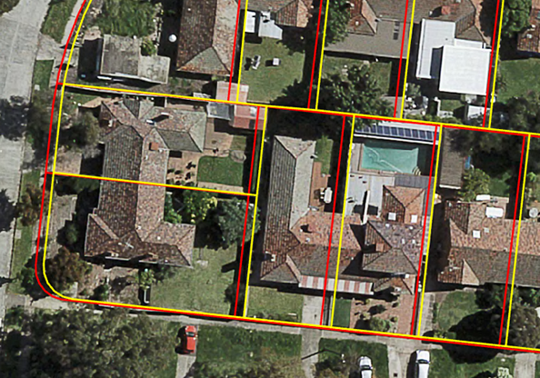
The Victoria Government’s major investment in Digital Cadastre Modernisation (DCM) realigned the state’s 4.2 million land parcels to improve their spatial accuracy. Spatial Vision’s experts provided a DCM data readiness and alignment service so that organisations can benefit from the investment in DCM to boost their productivity and confidence in property related decisions.
Our intimate knowledge of DCM means we can assist organisations to confidently plan and undertake the integration of the enhanced Vicmap product suite with their own business data.
Our unique position gives us a comprehensive understanding of the datasets impacted by Victoria’s DCM project, and we have developed processes to align an organisation’s assets to the adjusted Vicmap product suite, tailored to your requirements.

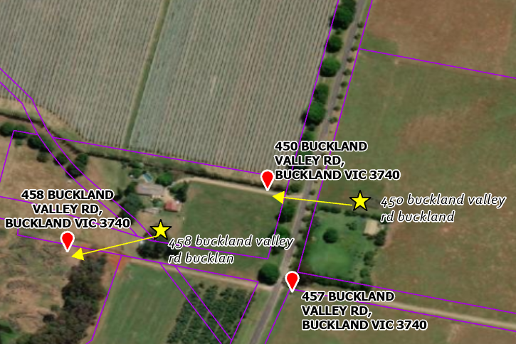
A property or location’s address is vital for many purposes. For example, consider the efficient dispatch of an ambulance or fire engine. The property or location address is represented on a map by a point however the accuracy of the point location, as well as address description are vital. Too often the address description and location data held by many organisations for their clients and assets are not accurate or reliable.
We can provide your organisation with an Address Data Improvement & Audit Report by conducting a geocoding process, which audits the address data that you hold – validate it, populate missing attributes and rectify mistakes in the address descriptions.

Our services are valued because they:
– Improve addressing information
– Create clarity for addressing accuracy and limitations
– Reduce the risk of inaccurate or duplicate entries
– Provide confidence in the quality of the addressing data.
If you need to improve your addressing data, we can provide location-based business intelligence and mapping from your own addressing information.