Using QField For Data Collection
Frankston City Council needed to accurately capture gravesite data for almost 6,000 sites at Frankston Memorial Park cemetery, so we took on the task.
We offer a diverse range of services that transform geospatial data into impactful and actionable results.
We deliver geospatial solutions that help government agencies, private organisations, and NFPs tackle spatial, social, and environmental challenges. Our team includes cartographers, GIS analysts, data scientists, solution architects, designers, developers, project managers, and visualisation specialists.
We provide tailored geospatial advice and digital transformation strategies, guiding your organisation to achieve its desired outcomes effectively.
We collaborate with clients to enhance the quality of their geospatial data, enabling precise decision-making, improved operations, insightful planning, and compelling storytelling.
We offer expert GIS resources and support for short- to medium-term needs, filling gaps and providing specialised assistance when required.
We deliver comprehensive GIS infrastructure services, from technical consulting to implementing enterprise spatial systems and data services, along with ongoing support and mentoring.
We create customised, high-quality maps that adapt to evolving needs, ensuring users engage with map products in innovative and effective ways.
We deliver tailored web and mobile app solutions that streamline processes, turning data into actionable insights and enhancing user experiences for business leaders and technology innovators.
We provide GIS training and mentoring in ESRI ArcGIS, open-source QGIS, and more offering courses for all skill levels to help you advance your geospatial capabilities.

Using QField For Data Collection
Frankston City Council needed to accurately capture gravesite data for almost 6,000 sites at Frankston Memorial Park cemetery, so we took on the task.

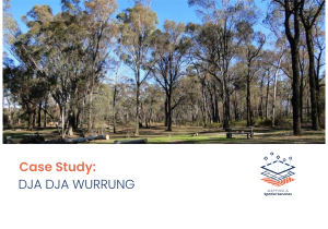
Dja Dja Wurrung QField Solution
In early 2024, DDWCAC required specialist support and training to adopt an in-field solution to collect location and species data on Dja Dja Wurrung country.

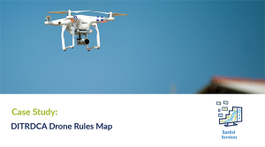
Drone Rules Map For Public Use
In early 2024, Spatial Vision was contracted by the Australian Government to improve the representation and management of drone rules across Australia to ensure clear and accurate communication to the public.