Safeguarding humpbacks whales against migratory interference. Shutting down illegal trash dumping through the identification of problem areas. Interactive biodiversity education tools for Victoria’s classrooms.
These diverse problems are all being addressed through mobile applications developed by Spatial Vision and key stakeholders that rely on one of the greatest untapped resources of the modern day: crowdsourced data. With nearly every Australian owning a mobile phone, the possibilities for cooperation between citizens and stakeholders are enormous, as demonstrated in a presentation by Katie Dick, one of our senior analysts at the Locate16 conference.
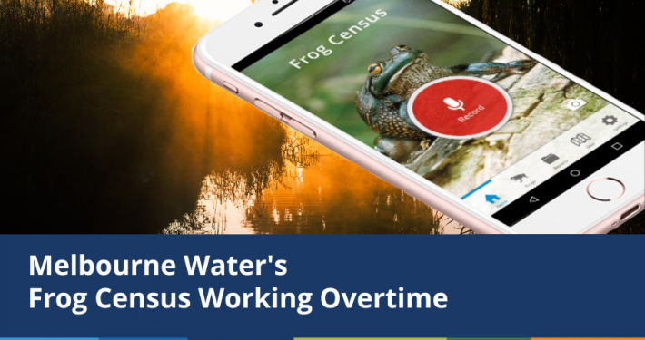
Together with the North Central Catchment Management authority, we’ve cooked up an application that compiles wildlife sightings across Northern Victoria (along with photos and audio recordings) for use in classroom projects around the state. Through thousands of easy reports made by our state’s parks employees, avid birdwatchers and nature enthusiasts, Victoria’s children will gain access to an amazing set of data, sure to further their interest in biodiversity.

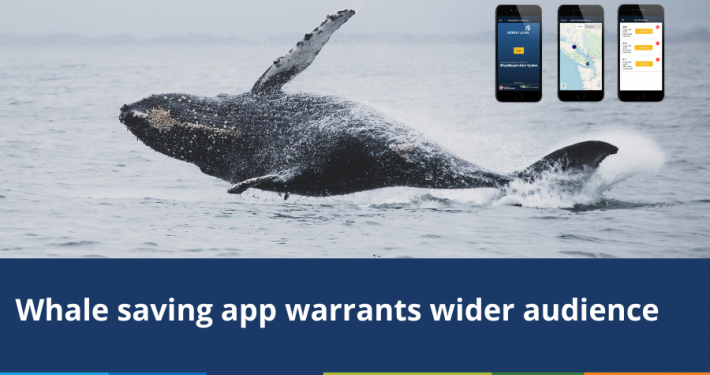
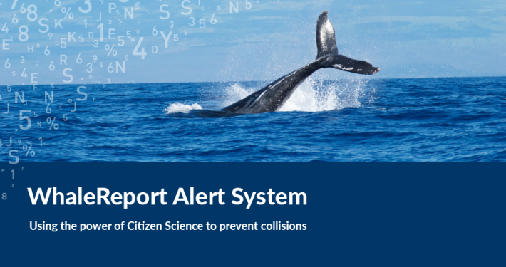
Another application we’ve been working is WhaleReport, developed for the Vancouver Aquarium in British Columbia, and it has logged more than 2,000 user sightings of whales since its launch in June last year. This data comes from a variety of users, including whale watchers, lighthouse operators, boat captains and of course, passionate coastal residents. Less than a year after launching the application, Caitlin Birdsall, a representative of the Vancouver Aquarium, identified the application as “one of the best decisions we’ve made in a long time”.
Another version of this application was designed for the Western Australian Department of Fisheries, where the data will be used to help understand the migration patterns of whales. They can then utilise this migratory data to design routes for fishing vessels that avoid the whales, which will hopefully lead to fewer whales getting caught up in fishing nets in the coming years.
There are of course limitations with the data these applications collect and one of the most important things to understand is the bias produced in the sample set by the kind of enthusiast users who choose engage with these applications.
One way to use a sample set like this is to use it as a broader starting point to identify areas which require more specialised investigation by professionals. The benefits of this can be seen in RID, a web application developed for the NSW Environment Protection Authority to combat the illegal dumping of rubbish across the state.
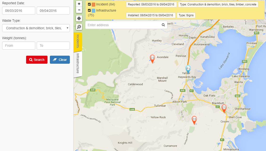
Users upload photographs of illegal waste dumps, capture their geographic coordinates, and include detail on when the illegal dump occurred and specific details of it. This information is then automatically distributed to both the local councils responsible for its removal and the statewide agency, who can use this data to understand the patterns of illegal waste disposal and measure the effectiveness of their prevention campaigns.
Lastly, another key to harvesting crowdsourced data is effective engagement with your application’s consumers. Either by communicating the difference they’re making through participating or by providing your findings back to your enthusiast user base, it’s important to make it clear you respect your users for spending the time to assist with your projects.
This post was first published with contributions from Katie Dick.
- Climate Change Statement - November 9, 2021
- Welcome Ryanne Firme – Digital Cadastre Modernisation Team - May 21, 2021
- 8 of the Best Data Visualisation Platforms - May 13, 2021