Spatial Vision launches geospatial climate group
The inaugural G4Climate group kicked off last week to a positive response from a good number of attendees.
Facilitated by Spatial Climate Specialist Rhiannan Mundana, the group brought together both GIS experts and non-experts in positions concerned with climate change effects, to share knowledge, experiences and initiatives. Most attendees hailed from local councils or state government departments.
After introductions, Harmen Romeijn Spatial Vision Data Scientist, set the scene with a presentation positioning Climate Data and Geospatial. Harmen provided an excellent Climate Data 101, outlining the key data sources and the application of climate spatial data for analysis and decision making.
Senior Research Scientist at Ag Vic/DEECA, Craig Beverly, followed with Utilising climate projections to estimate likely future agricultural productivity. Craig’s presentation demonstrated how spatial climate data can be leveraged and applied within other models and analysis, providing valuable insight on how climate change may impact crop yields (both negatively and positively) and how this supports planning.
Rounding things off, Polly Matthews, Project Manager of Regional Coastal Adaptation and Planning at DEECA, presented the Port Phillip Bay Coastal Hazard Assessment. Her session included guidance on how the project’s spatial outputs can be applied and integrated into planning and decision making.
All speakers were certainly well received and their topics sparked plenty of questions and discussion.
The session concluded with further discussion and a round of questions posed to attendees, exploring the purpose and terms of reference for the future of G4Climate. Most importantly, there was a strong consensus that the group is of value and should proceed with the following purpose;
‘A community of practitioners who share experiences, knowledge and skills to drive better, data-driven decisions and affirmative action to lessen the impact of climate change and extreme weather events, to people, the environment and infrastructure.’
“We identified other agencies who would benefit from either being part of the group or being invited as keynote speakers such as CSIRO, coastal committees, SES, CFA and others,” said Rhiannan Mundana. “We were also able to identify some great potential topics for future workshops, including how geospatial supports adaptation, key climate data gaps and event-specific focuses – as well as other valuable suggestions.”
“Overall, the feedback from participants was overwhelmingly positive and we’re excited to continue these collaborative sessions semi-regularly, to provide a platform and space to work together towards lessening the impact of climate change.”
You may also be interested in…
The role of geospatial intelligence in building resilience
Climate data informed geospatial strategies are essential for developing multi-hazard early warning systems to safeguard lives and livelihoods.
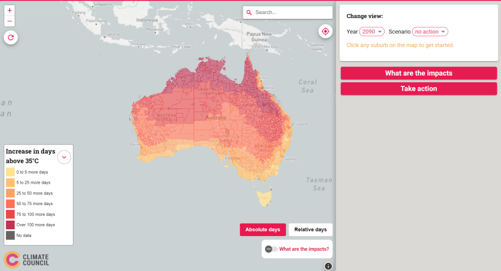
Hot enough for you? Climate Heat Map of Australia released
With the help of Spatial Vision, the Climate Council have released an interactive tool that shows how cutting climate pollution will limit extreme heat in our neighbourhoods.
Assisting local councils to prepare for climate impacts
The South East Councils Climate Change Alliance (SECCCA) engaged Spatial Vision to undertake an asset vulnerability assessment on selected assets and a financial review to assist member councils in better understanding and planning for the likely impacts of anticipated climate change.


