Metes and Bounds
Metes and bounds is a system or method of describing land, real estate or administrative boundaries. The system has been used in Britain for many centuries, and is still used in many land jurisdictions based on British common law.
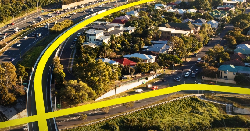
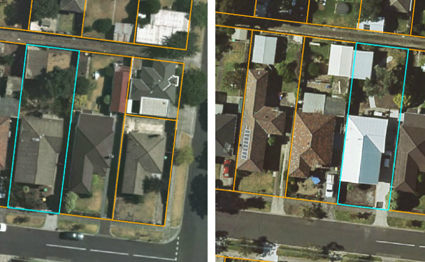
Typically the system uses physical features of the local geography, along with directions and distances, to define and describe the boundaries of a parcel of land, an administrative boundary or some other human-defined boundary. The boundaries are described in a running prose style, working around the feature in sequence, from a point of beginning, returning to the same point.
Australian jurisdictions still use metes and bounds in describing boundaries of administrative areas such as local government areas, schedules of proclaimed areas, park proclamations and other boundaries that are required to be described in a government gazette.
Spatial Vision recently developed metes and bounds descriptions as part of a redistribution of the Queensland state electoral boundaries for the Electoral Commission of Queensland (ECQ). As well as providing maps for the redistribution, Spatial Vision was tasked with preparing metes and bounds descriptions of the new electoral division boundaries.
In order to meet the tight deadlines for this project, Spatial Vision decided the best approach was to automate the process of defining the metes and bounds. Spatial Vision used ESRI ArcGIS with Python scripting to first identify the features that make up the boundary, identify a direction in which the feature was heading and then convert this into a written description of the boundary with appropriate text which connected the various boundary elements into a single coherent paragraph.
For more information, please get in touch


