MinView Wins Award for Technical Excellence

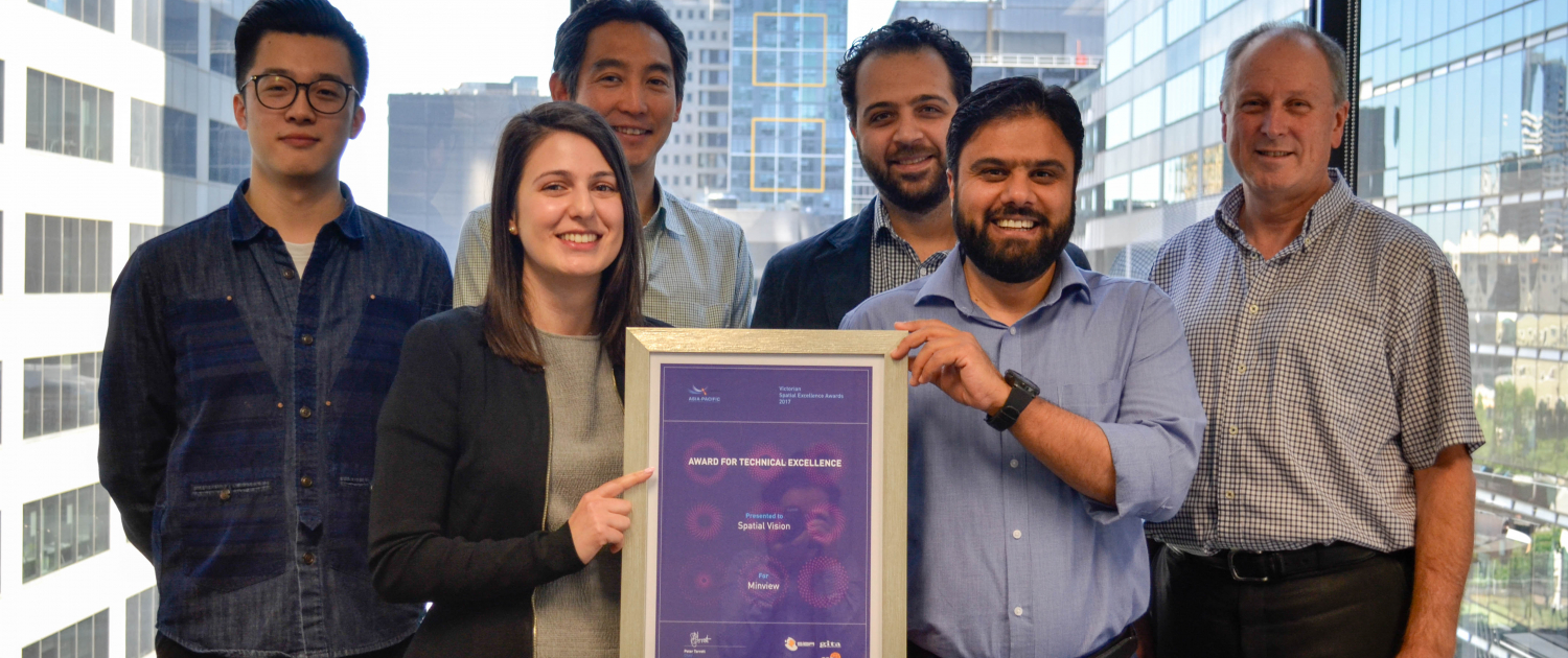
Recently, the Victorian Spatial Excellence Awards were held in Melbourne. The awards are the spatial industry’s premier gala event where organisations and individuals are acknowledged for their outstanding contributions and achievements. MinView successfully won the award for Technical Excellence.
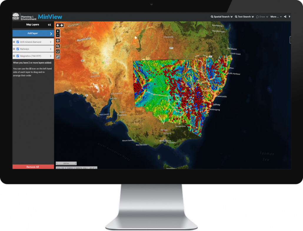
MinView is a web mapping application which provides free access to view, search and download a comprehensive range of geological and geoscientific data for NSW. MinView also provides a range of supporting reference data by which to contextualise the geoscientific data including present and past exploration and mining titles, areas available or not available for exploration and cadastral information. There are over 50 unique map layers available to explore.
MinView draws together a vast array of different data types and formats from the department’s existing databases, including the Geoscientific Data Warehouse and the Titles Administration System, with the intention of providing easy, public access to all validated, non-confidential data from a single map interface.
MinView was developed by GSNSW and Spatial Vision (SV), with GSNSW implementing the underlying data and services and SV developing the web interface. Minview is built largely on open source technologies, with the web interface being built using Openlayers and Cesium (for 3D viewing), integrated with the OL3-Cesium plugin. The data published in MinView is stored in PostgreSQL and publishes as WMS and WFS services via Geoserver.
Whilst most of these elements have been implemented in other web mapping systems, the excellence in Minview is the seamless and highly usable manner in which they have been integrated, setting a new standard in usability, power and performance. This was made possible by bringing together a team of GSNSW and SV staff with expertise in data publishing, geoscience, system architecture, web design, UI/UX design and software development.

The key challenges in delivering Minview included:
– Bringing together a vast array of geoscience data in an easy to use and highly performant interface
– Provision of 2D and 3D viewing modes
– Provision of sophisticated search and querying functions
– Support of a wide range of computing devices including tablets and touch devices
MinView underwent extensive user acceptance testing. Even at this early stage a number of industry users were keen to use the new system in development in preference to the old, familiar production system it was replacing. Both internal and external users have responded positively to the rich functionality and wealth of data available in MinView. New users have typically found the layout logical and easy to navigate with minimal instruction.
Congratulations to Ian Miller, Imran Qazi and SV’s MinView development team on their outstanding efforts.
For more information, please get in touch

