The G4Climate user group discuss extreme heat and heatwaves
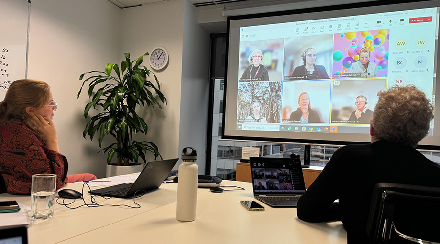
Our second quarterly G4Climate user group session was held earlier this month, with the theme of discussion ‘Extreme temperature and heat waves’. 30 participants came together to hear compelling presentations from City of Melbourne and City of Bayside, both sharing details of new geospatial initiatives aimed at enhancing community experience across their jurisdictions.
The role of geospatial heat mapping
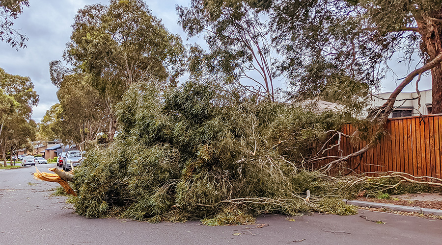
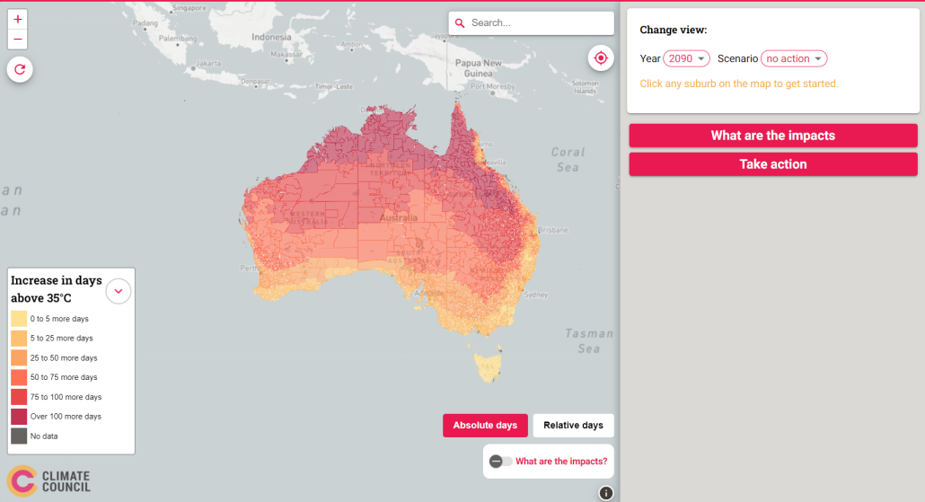
Heat waves have proven to be more lethal than any other natural hazard in Australia. With 2023 marking the hottest year on record globally, and climate projections forecasting increased intensity, frequency, and duration of high temperatures and heat waves, it’s imperative that local governments and other authorities are well-prepared to manage heat-related risks to their communities, infrastructure, and environment.
Geospatial data plays a pivotal role in this context, serving as a cornerstone for informed decision-making and future planning. This was the focal point of the second meeting of the Geospatial for Climate user group. The session commenced with presentations from two councils, where Candace Jordan – Climate Change Adaptation Lead from City of Melbourne, and Shelley Franklyn – Climate & Environment Sustainability Coordinator of City of Bayside, showcased how their councils are harnessing geospatial information to support climate change action and initiatives aimed at mitigating the effects of, and preparation for, extreme heat.
Mapping cool routes
“The population of Melbourne is likely to double in the next 50 years as well as experience an increase in visitors,” said Candace. “Our challenge is to balance the competing priorities of catering to this increased population and protecting the people, infrastructure and communities as the impacts of climate increase. Improving thermal comfort is a key focus area and one of the ways we can provide a heat safe city. We are using geospatial mapping with key data inputs such as surface types, land use and urban forest development to guide our planning and action across the city and track our progress”.
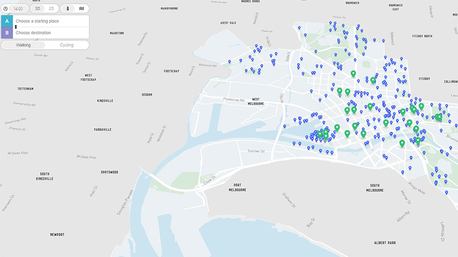
Candace provided details of climate change risk reporting using neighbourhood maps, and a new Cool Routes tool – a way-finding tool to allow walkers and cyclists to plan the route best protected from the sun and heat. You can check it out here: coolroutes.com.au
Building community resilience
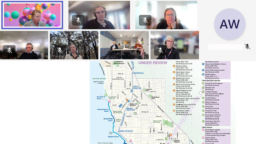
Shelley Franklyn then took the audience through the Bayside City Council ‘Building Community Climate Resilience’ project which came about following the SECCCA Minderoo-funded studies including spatial data gathering across the SECCCA councils, analysis of the data, what it meant and how it could be used to inform climate resilience.
“For Bayside, it showed us all sorts of interesting patterns and things we weren’t aware of. When we mapped it against climate data, it highlighted key areas of focus and highlighted our older residents were most at risk. So we embarked upon a community engagement project to collate information and involved elderly volunteers in planning resilience measures,” says Shelley.
“One outcome is the production of a A3-printed readiness checklist and plan, and a map that marks public places suitable for residents to escape the heat during hot weather events.”
The presentations sparked keen discussion among attendees, with participants sharing their ongoing and planned projects, as well as the pain points and barriers they face in their climate work.
Through these discussions, it was clear there were three key areas of focus:
- better access to projected heat data to support planning
- recognition that better canopy cover is critical for better urban cooling
- a need for ongoing monitoring of the effectiveness of implemented activities.
Feedback from participants was overwhelmingly positive, with one describing the session as “very useful” and praising the “excellent presentations and discussion.”
Spatial Vision looks forward to sustaining these quarterly sessions and invites any local governments or other interested stakeholders to reach out if you’re interested in participating.
You may also be interested in…
The role of geospatial intelligence in building resilience
Climate data informed geospatial strategies are essential for developing multi-hazard early warning systems to safeguard lives and livelihoods.
Hot enough for you? Climate Heat Map of Australia released
With the help of Spatial Vision, the Climate Council have released an interactive tool that shows how cutting climate pollution will limit extreme heat in our neighbourhoods.
Enhancing climate resilience
The South East Councils Climate Change Alliance (SECCCA) engaged Spatial Vision to undertake an asset vulnerability assessment on selected assets and a financial review to assist member councils in better understanding and planning for the likely impacts of anticipated climate change.

