Industry Profile:

 https://spatialvision.com.au/wp-content/uploads/2023/11/IMG_5421-scaled.jpg
1706
2560
Jeff D
https://spatialvision.com.au/wp-content/uploads/2020/04/SV_Logo_Inline.png
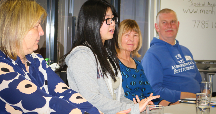
Jeff D2023-11-16 09:33:382023-12-18 17:29:30Talking ’bout the next generation of spatial analysts
https://spatialvision.com.au/wp-content/uploads/2023/11/IMG_5421-scaled.jpg
1706
2560
Jeff D
https://spatialvision.com.au/wp-content/uploads/2020/04/SV_Logo_Inline.png
Jeff D2023-11-16 09:33:382023-12-18 17:29:30Talking ’bout the next generation of spatial analysts