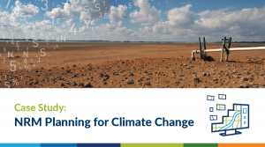
Case Study: EMET Web Map

ACEM came to us because they wanted to let users explore the breadth and connectivity of the Emergency Medicine Education and Training (EMET) program hospital network around Australia with ease and flexibility. To do this we created an online map.

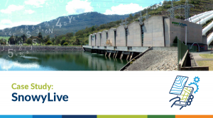
Case Study: SnowyLive

Spatial Vision partnered with energy company Snowy Hydro Limited to create the “Snowy Live” app for phones and tablets.

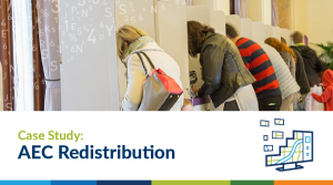
Case Study: Australian Electoral Commission Redistribution

Since late 2015 Spatial Vision has provided the Australian Electoral Commission (AEC) with hardcopy and digital mapping support.

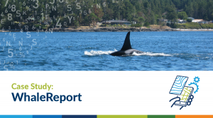
Digital platform delivers real-time reporting to marine operators

Vancouver Aquarium Marine Science Centre wanted to provide the public with a tool that would enable them to easily report sightings of cetaceans and sea turtles.

Case Study: Smart Rest Area Trial

The Australian and NSW Governments are working together on a Smart Rest Area Trial to allow heavy vehicle drivers to receive instant information about nearby rest areas.

Case Study: NatureBlitz

We helped meet the North Central Catchment Management Authority’s (NCCMA) two fold goals of enabling the enthusiastic public to contribute to data gathering and designing a new avenue to educate the public about Victoria’s diverse wildlife and ecosystems.

Case Study: Our Water

Drawing on the success of the Waterlive app, the NSW Government foresaw a need to open up their broad information resources to a wider audience.

High performing app transforms paper-based processes

Built for sea urchin divers, the VicFishCatch app allows dive fishers to easily report their activity and record their catch as they catch it, even if they are located offshore or offline.

Case Study: Savanna Burning Abatement Tool

The Australian Government is committed to reducing Australia’s greenhouse gas emissions to meet international emission reduction targets; developing a plan for a cleaner environment; and adapting to the impacts of climate change

Case Study: Collaborative Australian Protected Areas Database

Updated every two years, the Collaborative Australian Protected Area Database (CAPAD) is a textual and spatial information product which provides a national perspective of biodiversity conservation.