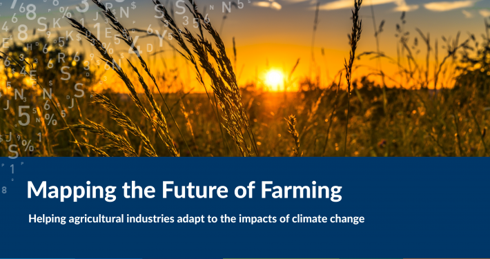
The Embedding Climate Adaptation in Agriculture in North East Victoria (ECAiA) Project aimed to assist the agricultural sector and local government to effectively adapt to the impacts of climate change. The project is supported by the North East CMA through funding from the Australian Government’s National Landcare Program.
The project utilised existing, readily available data of relevance to an assessment of climate change impacts on agricultural productivity at the regional scale. Data and information, supplemented by local knowledge was synthesised, analysed and presented to make it easy for end users to integrate information, develop knowledge of how climate change impacts their businesses and operations, and plan and manage for the future.
A core component of the project from the outset was to design and develop a suite of tools, including the Climate Explorer and Water Balance Explorer. These were designed to support discussion around managing impacts of climate change and to equip the agribusiness sector and local governments in North East Victoria with tools and knowledge ‘resources’ to articulate the likely impacts of climate change on the dominant agricultural sectors.