Australia has fast become one of the leading wine producing regions ranking inside the top 5 exporters globally. Wine Australia reported total wine exports of over $2.8 billion for 2018, with conditions favouring continued year on year growth for 2019 and beyond.
Remaining competitive and sustaining growth in both domestic and international markets relies on many factors beyond the quality of the wine in the bottle, however. Geographical Indications (GI) are one such factor. These official descriptions defining Australian viticulture zones, regions and sub-regions create expectations and assurances relating to the origin of the wine which can contribute to the success of winemakers and protect their investments.
Wine Australia is an Australian Government statutory authority established to support sustaining a competitive wine sector by investing in research, development and extension (RD&E), growing domestic and international markets, protecting the reputation of Australian wine and administering the Export and Regional Wine Support Package. One of its key roles is ensuring the integrity of Australian wine exports including compliance with regulations relating to claims that can be made on wine labels regarding the variety and source region of the wine.
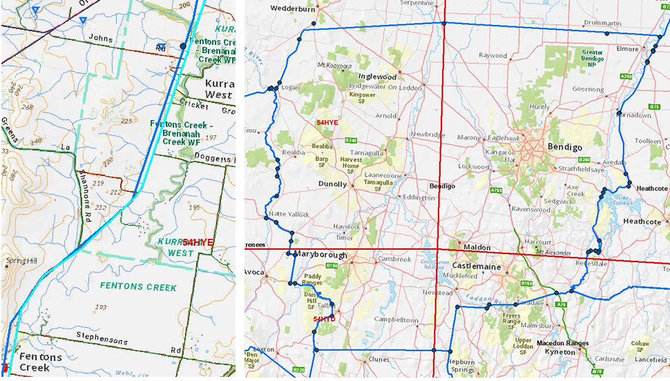
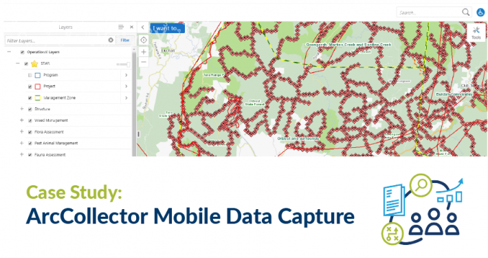
Spatial Vision was engaged by Wine Australia to re-digitise Australian Geographical Indications (GI) boundaries. The existing digital versions of the legal boundaries were outdated and inaccurate, due to limitations in technology available when they were first prepared. Spatial Vision aimed to correct this through re-digitising the boundaries to ensure accuracy and alignment with the legal descriptions, and facilitate the more widespread use of the data for a range of analytical, marketing and educational purposes.


