Case studies
An in-depth look into our projects.
An in-depth look into our projects.








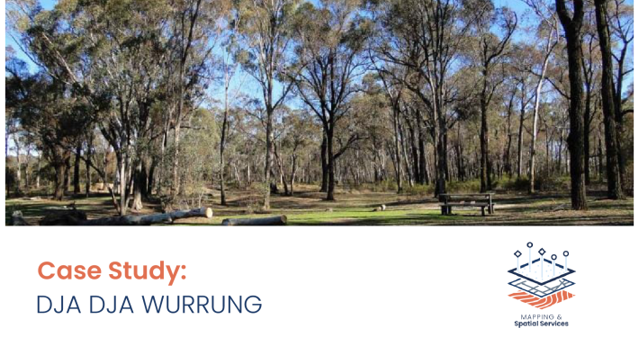 https://spatialvision.com.au/wp-content/uploads/2024/10/Dja-Dja-Wurrung-Case-Study-web-tile.png
1356
1938
Samantha Sinclair
https://spatialvision.com.au/wp-content/uploads/2020/04/SV_Logo_Inline.png
Samantha Sinclair2024-10-17 10:13:132024-11-19 14:22:38Dja Dja Wurrung QField Solution
 https://spatialvision.com.au/wp-content/uploads/2024/08/DITRDCA-Case-Study-web-tile-01-01-1.png
333
600
Samantha Sinclair
https://spatialvision.com.au/wp-content/uploads/2020/04/SV_Logo_Inline.png
Samantha Sinclair2024-08-22 14:09:392024-10-23 15:35:04Drone Rules Map For Public Use
 https://spatialvision.com.au/wp-content/uploads/2024/08/DEECA-Ent-Spatial-Data-Platform-Case-Study-web-tile-01-1.png
303
600
Samantha Sinclair
https://spatialvision.com.au/wp-content/uploads/2020/04/SV_Logo_Inline.png
Samantha Sinclair2024-08-22 10:00:102024-10-23 15:32:44Enterprise Spatial Data Platform Transformation