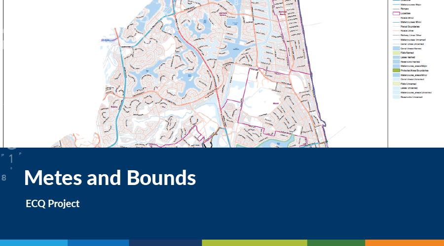
Spatial Vision recently completed a project for the Electoral Commission of Queensland preparing a series of maps for new electoral district boundaries. As well as the maps, there was a legislative requirement that ‘metes and bounds’ boundary descriptions be prepared for the new boundaries for publication in the Queensland Government Gazette.
Metes and bounds is a method of describing land, real estate or administrative boundaries. The system has been used in England for many centuries, and is still used in many land jurisdictions based on English common law.
Typically the system uses physical features of the local geography, along with directions and distances, to define and describe the boundaries of a parcel of land or an administrative boundary. The boundaries are described in a running prose style, working around the parcel in sequence from a start point, and describing each of the features encountered before returning to the same point.
The development of metes and bounds can be a very time consuming process requiring great attention to detail as it easy to make a mistake, such as leaving out a boundary-defining feature, describing features out of sequence, or getting the direction wrong. With this in mind we decided to adopt a different approach to preparing metes and bounds by developing an automated tool and a flexible methodology which incorporates a number of quality assurance procedures. The tool ensures that digital geographic information is available for the features defining a boundary, and a consistent syntax is used within the description, and repeatable boundary descriptions can be created from geographic data.
The tool was build using ArcGIS with Python scripting.
To our knowledge, this is the first time anyone has been able to successfully develop and implement an automated metes and bounds tool.
The Metes and Bounds tool not only allowed us to accelerate the preparation of a large number of descriptions within a limited timeframe, but also ensured that we were able to implement quality assurance processes and procedures guaranteeing the quality of the end result.
- DCM #3: Process, progress & building a world-class team - November 17, 2021
- DCM #2: Adjusting Cadastral Surveys using DynAdjust - October 26, 2020
- DCM #1: Preparing for DCM2x2 - June 19, 2020


