Shadeways – Finding an optimal travel route considering thermal comfort
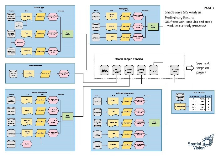
Spatial Vision has been working closely with RMIT University and the City of Greater Bendigo to build a thermal comfort model that identifies and maps the location of urban hotspots derived from heat and shade. The aim of the Shadeways project is to develop a platform that integrates various GIS data including tree canopy, surface materials and satellite-derived land surface temperatures, for pedestrians and cyclists to understand how their route will differentially expose them to extreme temperatures. Ultimately the platform would interface with major mapping and navigation systems such as Google Maps and Apple Maps, allowing users to take advantage of hotspot information without changing digital behaviour patterns. The platform will allow local governments to communicate the benefits of greening and to enable active travellers to move in comfort and safety.
Current progress:
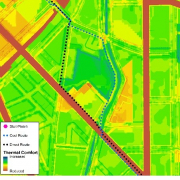
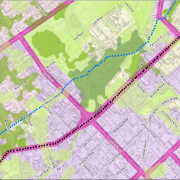
Focusing on the urban area of the City of Bendigo as the study area, Spatial Vision have built a proof of concept model that identifies the most thermally comfortable route to a planned destination on pedestrian or cycling networks across the urban area using the Network Analysis tool in GIS.


